







Hiking tour

Border tour Plamortboden via Kompatsch
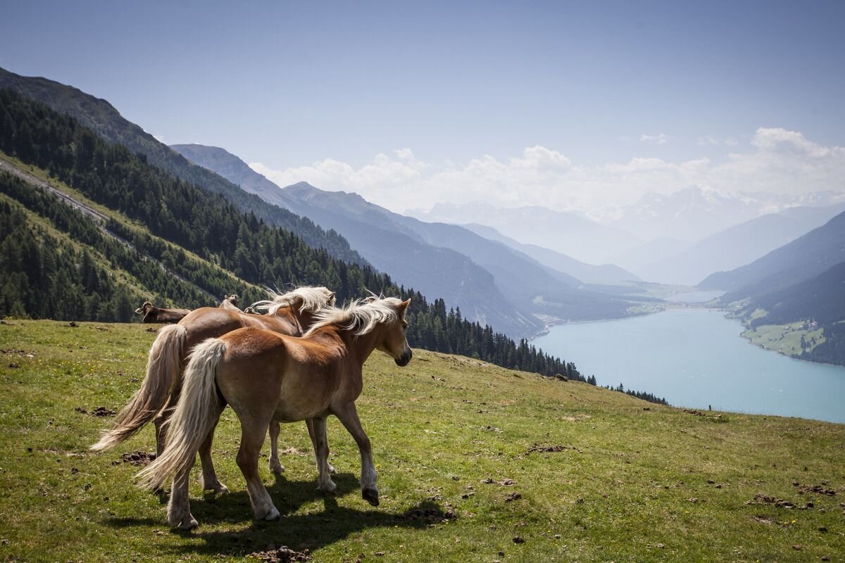
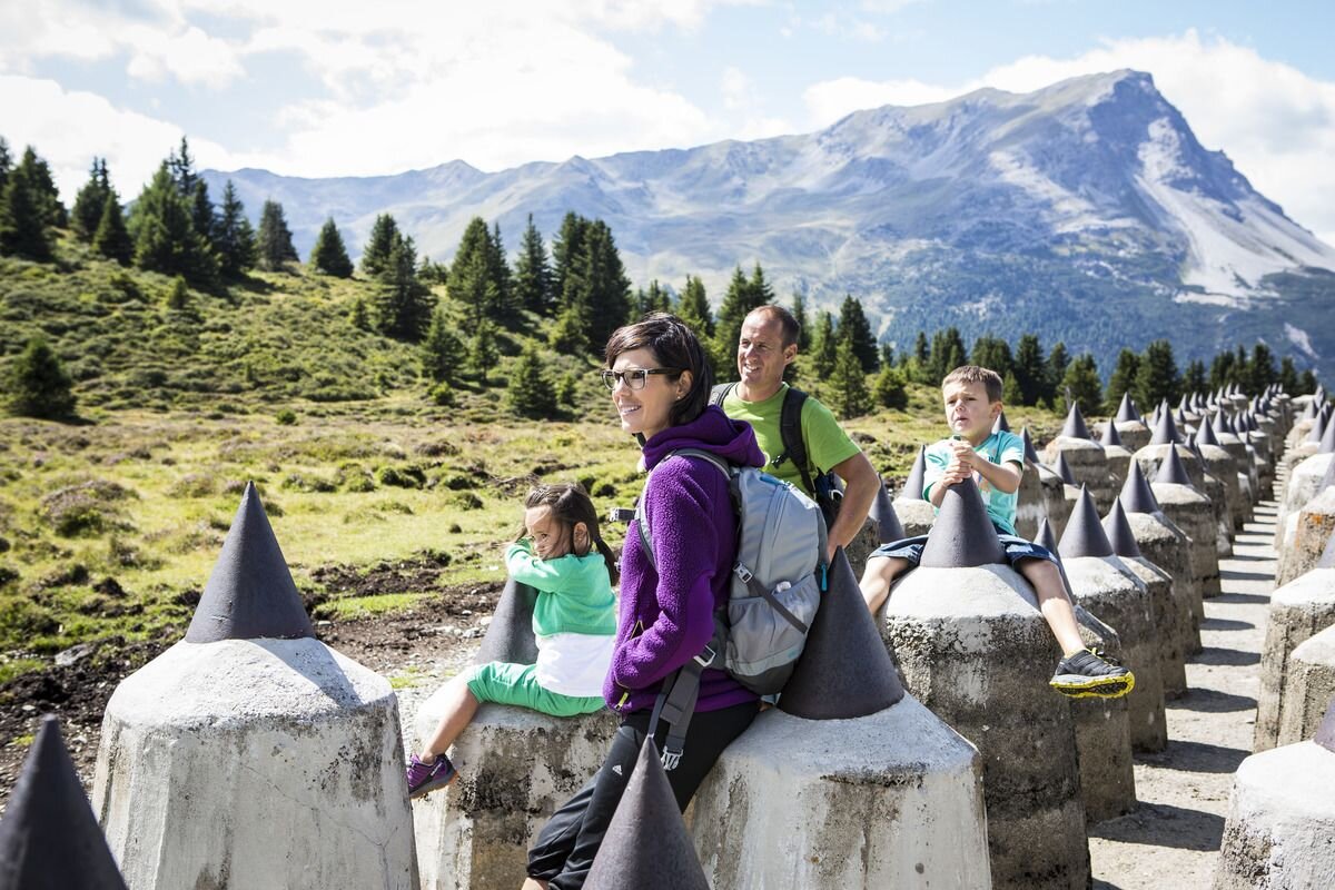
Starting from Nauders, the route first goes along Via Claudia Augusta no. 26, past the Bergkastel valley station, towards the Italian border. In the Fuhrmannsloch district, branch off to the left and follow a narrow path No 27. Then a forest path leads after approximately 250 metres to the Kompatscher stream. The route continues to the left via an old cart track to the Kompatschhof with a beautiful chapel. Trail no. 37 begins above the mountain farm. The mountain trail leads through a varied forest to the Italian border. If you are in good condition, you can take a detour to the tank traps and the lookout rock. Trail no.36 leads over the Plamortboden slightly uphill to Stieralm and after a stop, further to the mountain station of the Bergkastel cable car (no.33).
 
4.5:0h
907m
12.2km
Highest point
2188m
Start point
Nauders
End point
Nauders

Similar Tours

Medium
1038m | 7.23h | 14.8km
Hiking tour
Lahnkopf | Circular Hike
Begin: Parking area Tscheylücke | Pfunds
End: Parking area Tscheylücke | Pfunds
Easy
438m | 2.67h | 5km
Hiking tour
Farmhike Stables - Novelles
End: Nauders
Medium
1131m | 7h | 4.3km
Hiking tour
Ölgrubenjoch
Begin: Gepatschhaus
End: Ölgrubenjoch
Medium
528m | 4.17h | 10.61km
Hiking tour
Kälberhütte | Alpe Zanders
Begin: Haus Edelweiss | Spiss
End: Haus Edelweiss | Spiss
Medium
400m | 3.75h | 8.4km
Hiking tour
Gletscherlehrpfad Gepatschferner
Begin: Parkplatz Ochsenalm
End: Parkplatz Gepatsch
Medium
522m | 4.15h | 11.06km
Hiking tour
Hohenzollernhaus | Wintersteig
Begin: Parking area Wildmoos | Pfunds
End: Parking area Wildmoos | Pfunds
Medium
949m | 6.42h | 11.18km
Hiking tour
Theierjoch | Perflkopf
Begin: Wand | Pfunds
End: Wand | Pfunds
Medium
300m | 2.67h | 6.2km
Hiking tour
Panoramaweg Aifner Alm - Falkauns Alm
Begin: Aifneralm oder Falkaunsalm
End: Falkaunsalm oder Aifneralm