








Hiking tour

Frudiger

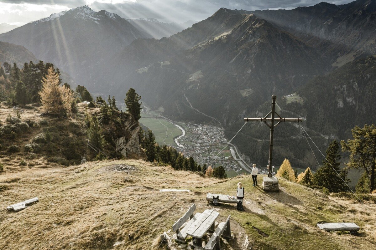
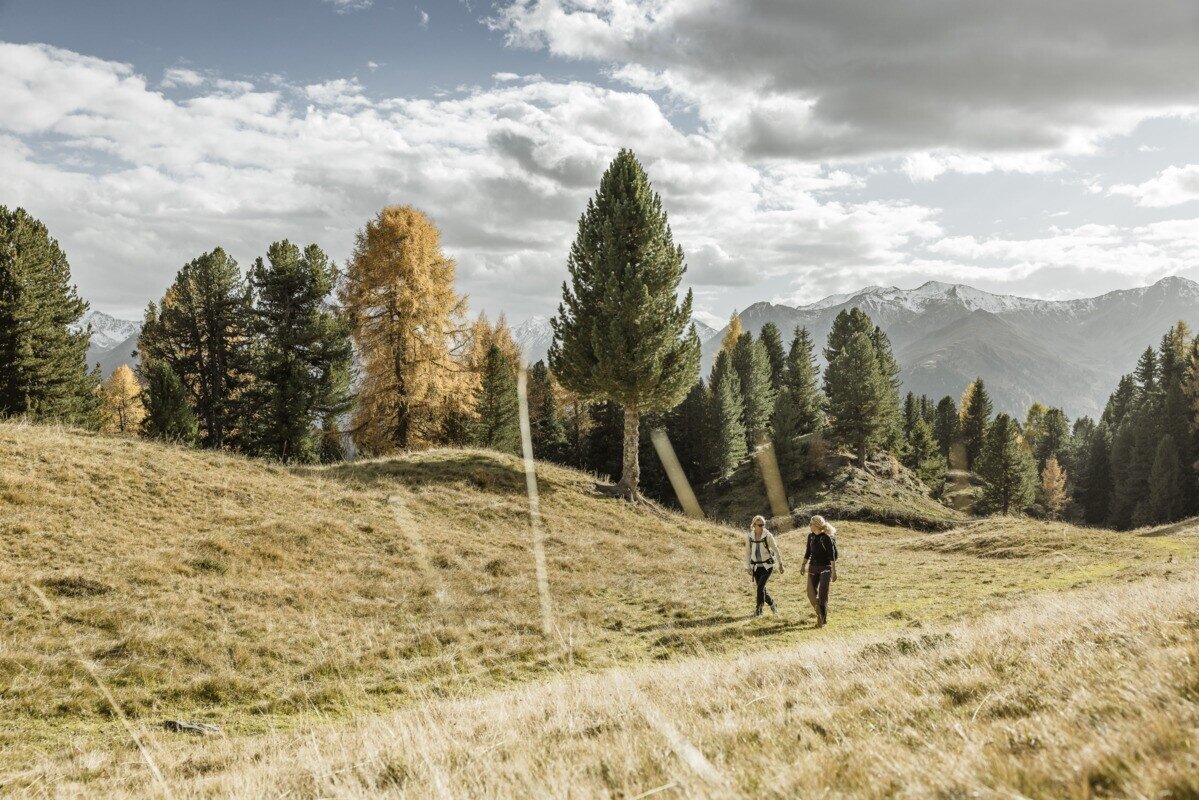
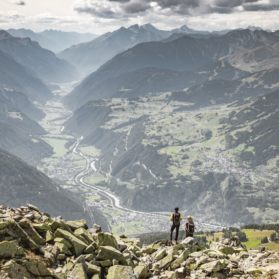
Drive to Greit up to the Tscheylücke. Here, at the beginning of the wonderful high valley of the Pfundser Tschey, a forest path starts on the left at the roundabout up to high mountain meadows. The sign Frudiger points to a path across pastures, through the Swiss stone pine forest up to the summit. A wonderful view of the neighbouring Samnaun group and the holiday resort Pfunds opens up.

tour1
3.9:0h
543m
8.04km
Highest point
2139m
Start point
Parking area Tscheylücke | Pfunds
End point
Parking area Tscheylücke | Pfunds

Similar Tours

Medium
478m | 4h | 8.7km
Hiking tour
Kaiserschützenweg - Selles variant
Begin: Gasthof Norbertshöhe
End: Nauders / Gasthof Norbertshöhe
Medium
1240m | 8h | 16.5km
Hiking tour
Schmalzkopf, 2.728 m
End: Nauders
Difficult
1692m | 13.6km
Hiking tour
Über das Wallfahrtsjöchl vom Kaunertal ins Pitztal
Begin: Parkplatz Wallfahrtskirche Kaltenbrunn
End: Eggenstall (St. Leonhard-Pitztal)
Medium
611m | 6h | 5.6km
Hiking tour
Piengkopf
Begin: Bergstation Bergkastel
End: Bergstation Bergkastel
Easy
280m | 2.75h | 2.2km
Hiking tour
Nassereinalm (2.040 m)
Begin: Gepatsch Stausee
End: Nassereinalm
Difficult
763m | 3.1km
Medium
973m | 6.75h | 9.89km
Hiking tour
Madatschkopf und Mooskopf
Begin: Parkplatz Verpeilalm
End: Parkplatz Verpeilalm
Medium
665m | 7h | 15.7km
Hiking tour
Mataunkopf (& Ganderbildspitze)
End: Nauders