









Hiking tour

Ochsenberg | Rundwanderung
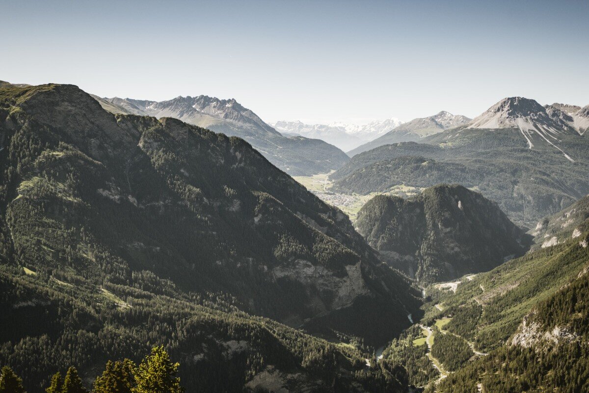
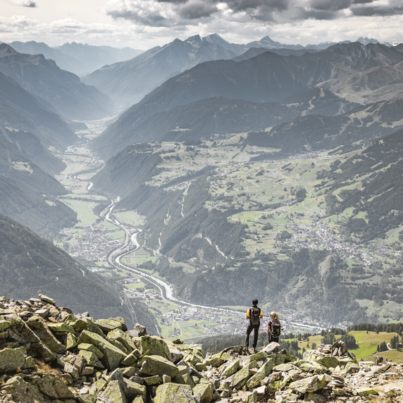
The hike starts at the first parking area at the lower Kobl, which can be reached by road from Pfunds. Right at the parking area, a forest road branches off to the right and climbs gently at first. The path leads past beautiful slopes of blooming alpine roses up to Ochsenbergalm, which is not serviced. From there, the route continues over Hahntennenberg and across the wide alpine meadows of the Kobler Alm area. The trail then passes the Kobler parking area and follows the road back to the starting point. If you like, you can take a short detour to Kobler Alm, which is open and offers a place to stop for refreshments.

tour1
8:0h
1096m
17.59km
Highest point
2249m
Start point
Parkplatz Vorderkobl | Pfunds
End point
Parkplatz Vorderkobl | Pfunds

Similar Tours

Easy
85m | 1h | 2.6km
Hiking tour
Bergkastel mountain hiking trail
End: Bergstation Bergkastelbahn
Medium
620m | 4.5h | 8.6km
Hiking tour
Zirbenweg
Begin: 2,5 km nach der Staumauer
End: Gepatschhaus
Difficult
1631m | 8h | 15.5km
Hiking tour
Feichtner Karlspitze
Begin: Feichten 1287 m
End: Kalrspitze 2.918 m
Medium
579m | 4.83h | 13.24km
Hiking tour
Platzer Alm
Begin: Parking area Tscheylücke | Pfunds
End: Parking area Tscheylücke | Pfunds
Medium
478m | 4h | 8.7km
Hiking tour
Kaiserschützenweg - Selles variant
Begin: Gasthof Norbertshöhe
End: Nauders / Gasthof Norbertshöhe
Easy
350m | 3h | 9.9km
Hiking tour
Kirchenruine Wiesele
Begin: Parkplatz Bergbahn Fendels
End: Parkplatz Bergbahn Fendels
Medium
1091m | 7.42h | 12.87km
Hiking tour
Kreuzjoch | Hahntennen
Begin: Parkplatz Kobler Alm | Pfunds
End: Parkplatz Kobler Alm | Pfunds
Medium
315m | 2.5h | 5km
Hiking tour
Zur Jägerhütte (2.117 m) - Hapmes
Begin: linke Uferstraße (Bushaltestelle)
End: Jägerhütte