Hiking tour

Muttakopf | Kreuzjoch

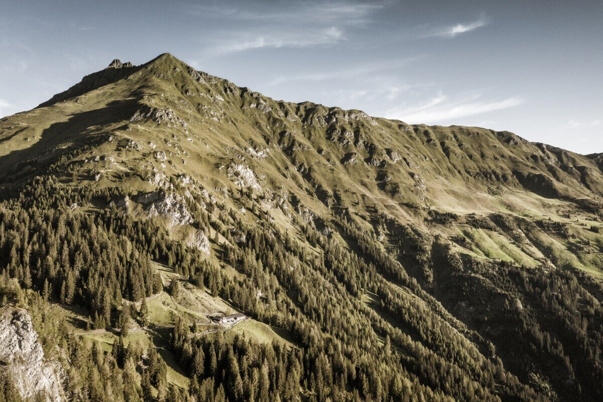
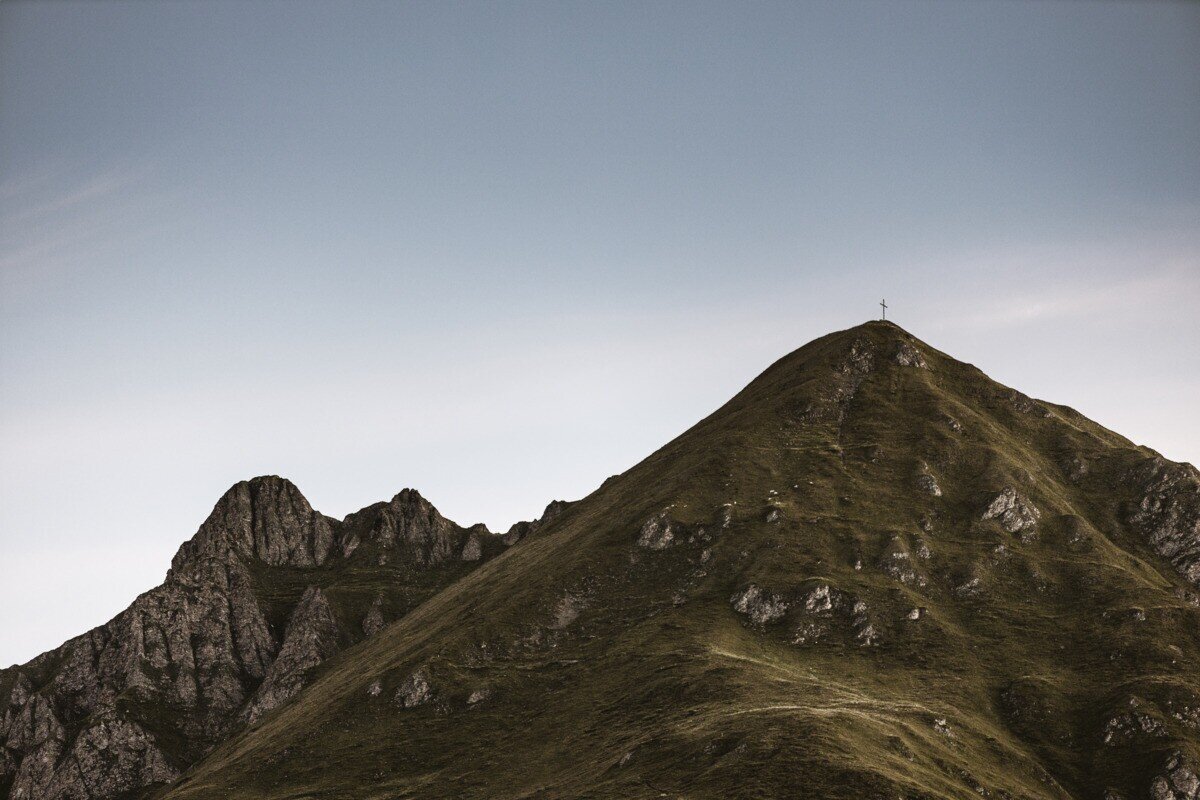
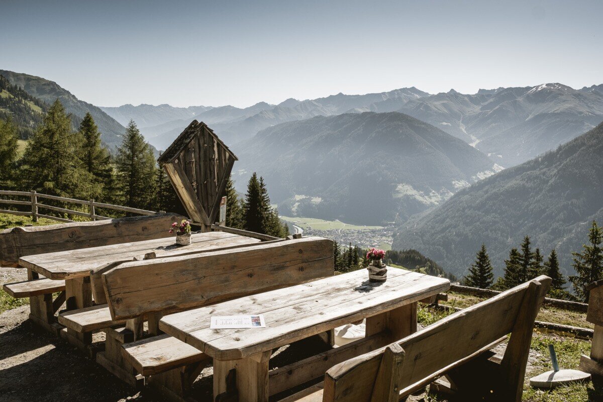
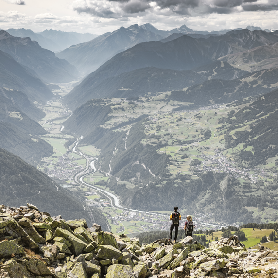
The hike starts in Spiss, passing Haus Bergfeld along a forest road. At the “Muttakopf Trail No. 9” sign, turn left onto a steep path leading to Muttakopf at 2,525 m. From the summit, enjoy breathtaking views of the neighboring village of Samnaun, Nauders, Lake Reschen, and the surrounding Ötztal Alps.

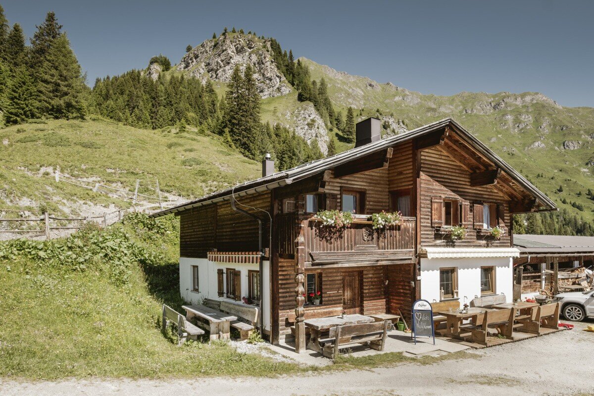
From the Muttakopf summit cross, the trail continues gently along the ridge to “In der Keil” at 2,679 m and then below the Rotspitze to the Kreuzjoch summit cross at 2,698 m. After a short break, the descent leads to Kobler Alm, perfect for a well-deserved rest.

The return follows scenic forest and meadow paths back to the hamlet of Gstalden, through the Tobel valley, and over the Heusattel back to Spiss.

tour1
9.3:1.7h
1345m
17.32km
Highest point
2693m
Start point
Haus Edelweiss | Spiss
End point
Haus Edelweiss | Spiss

Similar Tours

Difficult
493m | 3h | 4.5km
Hiking tour
Rauhekopfhütte
Begin: Gepatschhaus
End: Rauhekopfhütte
Easy
907m | 4.5h | 12.2km
Hiking tour
Border tour Plamortboden via Kompatsch
Begin: Nauders
End: Nauders
Medium
949m | 6.42h | 11.18km
Hiking tour
Theierjoch | Perflkopf
Begin: Wand | Pfunds
End: Wand | Pfunds
Difficult
1024m | 7h | 14.6km
Hiking tour
Fluchtwand über Valdigastei
Begin: Nauders Dorf
End: Fluchtwand
Medium
973m | 6.75h | 9.89km
Hiking tour
Madatschkopf und Mooskopf
Begin: Parkplatz Verpeilalm
End: Parkplatz Verpeilalm
Medium
579m | 4.83h | 13.24km
Hiking tour
Platzer Alm
Begin: Parking area Tscheylücke | Pfunds
End: Parking area Tscheylücke | Pfunds
Medium
697m | 4.87h | 11.8km
Hiking tour
Thomas Penz Höhenweg (Langetsberg-Kehm-Feichten)
Begin: Quellalpin Feichten
End: Quellalpin Feichten
Difficult
1692m | 13.6km
Hiking tour
Über das Wallfahrtsjöchl vom Kaunertal ins Pitztal
Begin: Parkplatz Wallfahrtskirche Kaltenbrunn
End: Eggenstall (St. Leonhard-Pitztal)