








Hiking tour

Lahnkopf

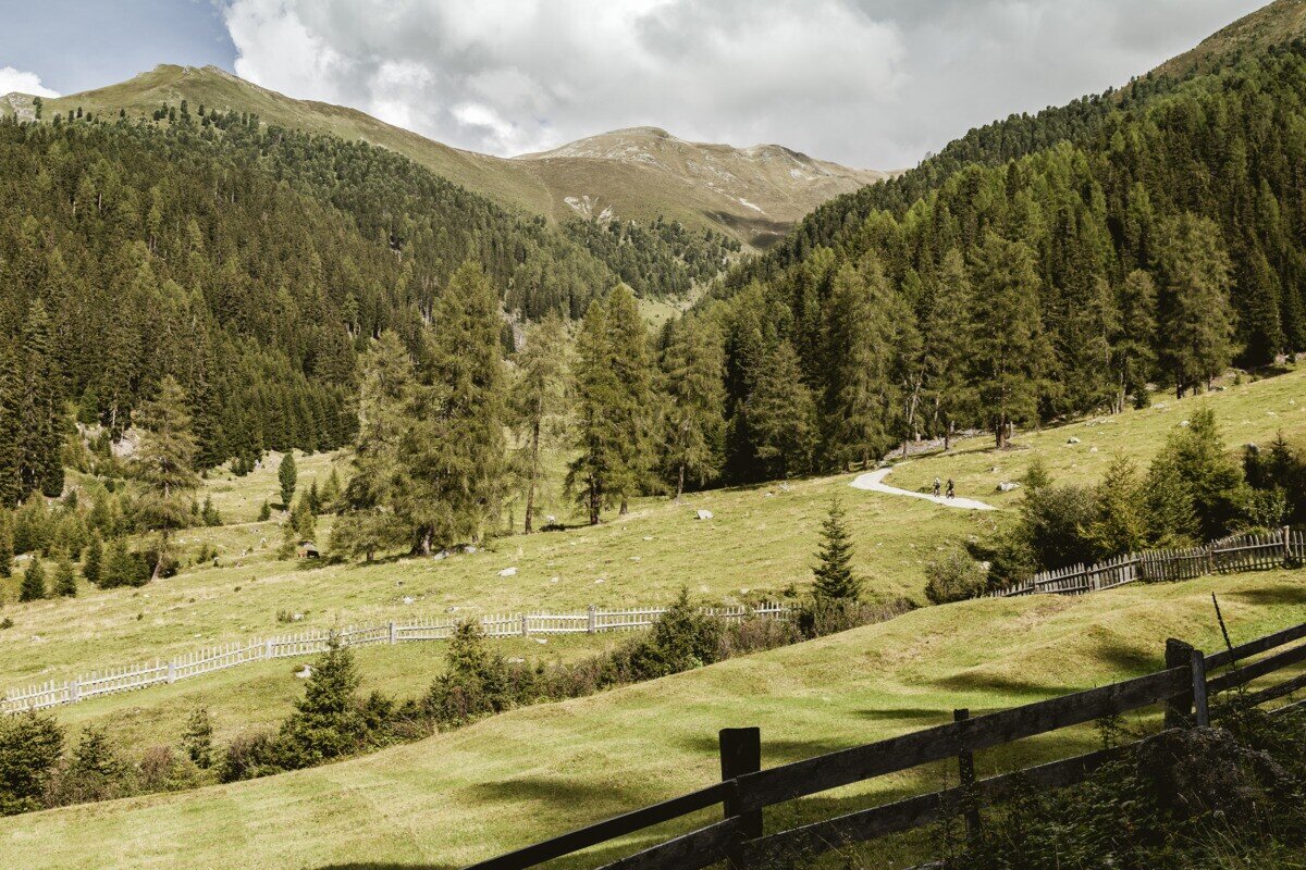
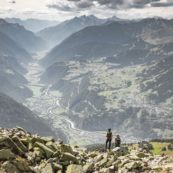
Starting at the Greiter Säge at the entrance to the Pfundser Tschey, follow the signposts towards the Gschneier Alm. A gravel road climbs steadily uphill in several switchbacks until reaching the alpine pasture. From there, the route continues on a hiking trail that leads further uphill, following the signs all the way to the summit of the Lahnkopf. At the top, hikers are rewarded with magnificent views of the surrounding mountains. The return follows the same route back to Greiter Säge or the Tscheylücke.

tour1
6.3:0h
912m
11.53km
Highest point
2441m
Start point
Parking area Tscheylücke | Pfunds
End point
Parking area Tscheylücke | Pfunds

Similar Tours

Medium
226m | 1h | 0.79km
Hiking tour
Verpeilschlucht
Begin: Quellalpin
Medium
1319m | 8.67h | 13.25km
Hiking tour
Schmalzkopf
Begin: Parkplatz Wildmoos | Pfunds
End: Parkplatz Wildmoos | Pfunds
Medium
478m | 4h | 8.7km
Hiking tour
Kaiserschützenweg - Selles variant
Begin: Gasthof Norbertshöhe
End: Nauders / Gasthof Norbertshöhe
Medium
475m | 6h | 11.7km
Hiking tour
Nach Pfunds von der Labaunalm
Begin: Labaunalm
End: Pfunds Dorf
Easy
160m | 2.5h | 6.5km
Hiking tour
Harberundwanderung über Harbe Weiher
Begin: Naturparkhaus Kaunergrat
End: Naturparkhaus Kaunergrat
Medium
300m | 2.67h | 6.2km
Hiking tour
Panoramaweg Aifner Alm - Falkauns Alm
Begin: Aifneralm oder Falkaunsalm
End: Falkaunsalm oder Aifneralm
Medium
1100m | 6h | 12km
Hiking tour
Wanderung Ebene und Ferminzkopf
Begin: Pfarrkirche Nau
End: Nauders
Easy
804m | 6.7km
Hiking tour
Bergkastel via Taschaloch
Begin: Nauders Zentrum
End: Bergstation Bergkastelseilbahn