















Running tracks
Übersachsen-Freitzberg-Trail


Opening status | Closed
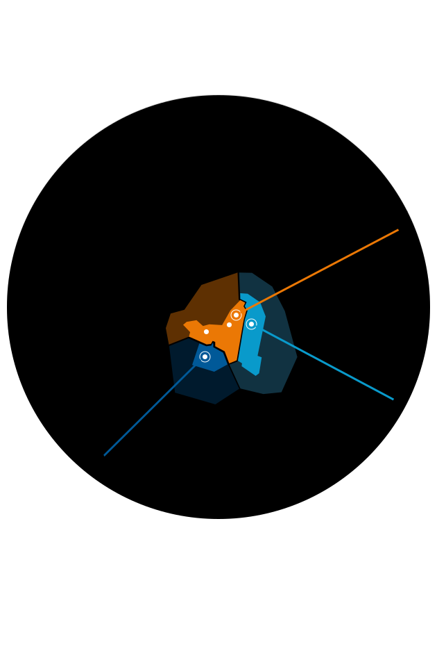
You start directly at the district of S. Cristina near Ried. The tour follows the village road to Steinbrücken, where a forest path branches off to the left and continues to Obertösens. The end point is the road towards Übersachsen. Follow the road to Übersachsen and then the tour turns into a forest path (Brandlsteig). This crosses a gorge and runs for a longer distance to Freitzberg. Afterwards the tour goes back down to the starting point via the normal access road.
tour1
713m
13.93km
Highest point
1486m
Start point
St. Christina | Ried im Oberinntal
End point
St. Christina | Ried im Oberinntal


