Running tracks

Spiss - Zanders - Trail

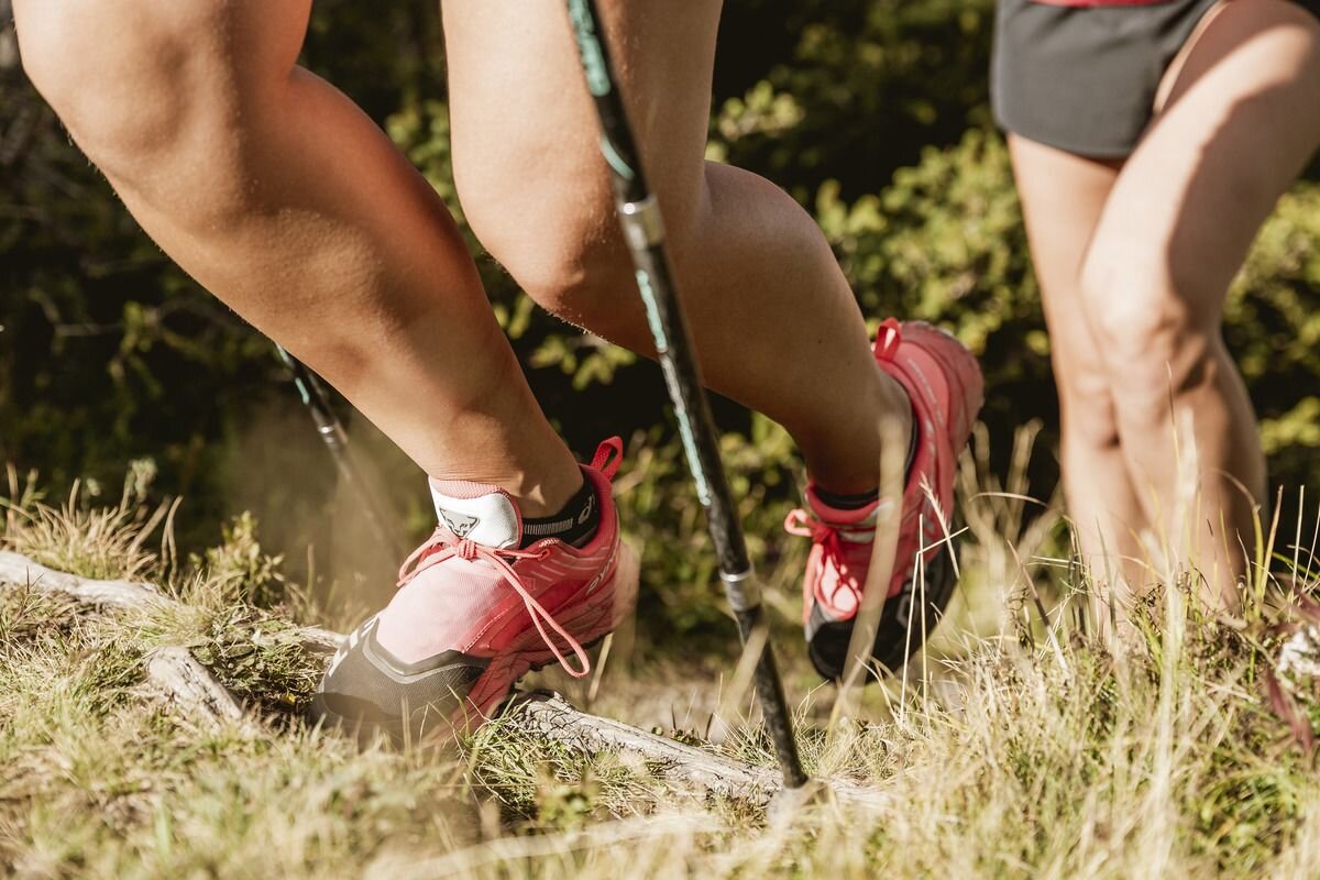
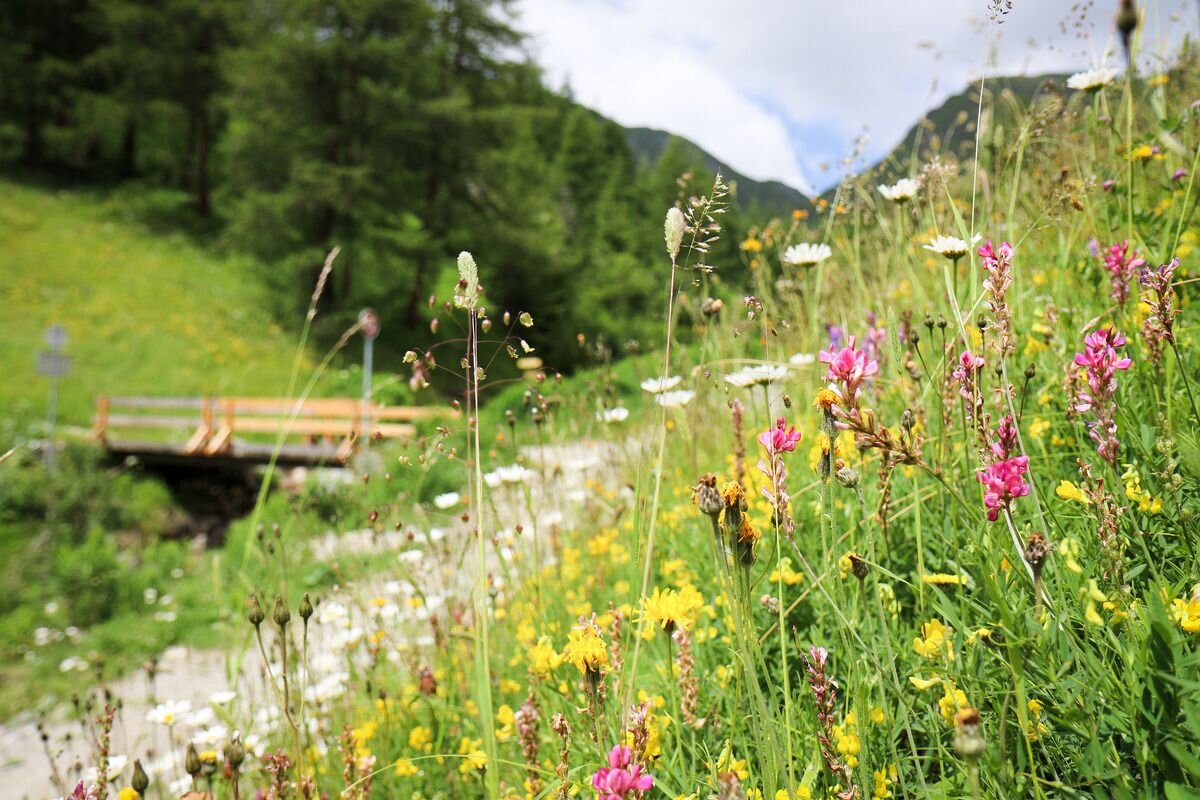
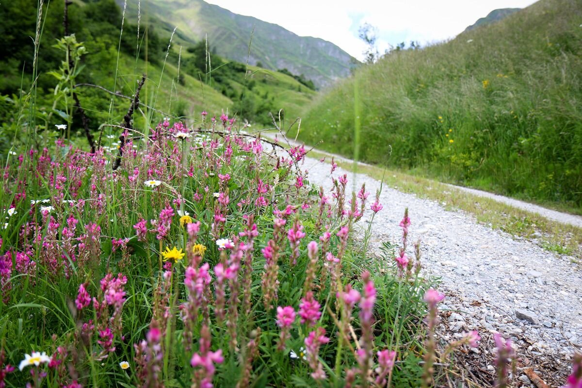
Starting point is the highest situated community of Spiss - from there follow the signs towards Zanders / Fließer Alm. Follow the path through the famous flower meadows to the alpine pasture (refreshment tip). Keep your eyes open for marmots - return via the mountain meadows to the starting point. 
tour1
694m
12.9km
Highest point
2030m
Start point
Spiss | Gande
End point
Spiss | Gande

Similar Tours

Medium
337m | 7km
Hiking tour
Fischerranch (Kauns)
Begin: Kauns
End: Kauns
Medium
381m | 7.5km
Running tracks
Ochsenkopf Runde
Begin: Fendels Sattelklause
End: Fendels Sattelklause
Easy
189m | 12.8km
Running tracks
Ried-Tösens-Ried
Begin: Information Office | Ried
End: Information Office | Ried
Medium
200m | 8km
Easy
67m | 2.5km
Walkway
Möser (Fendels)
Begin: Fendels
End: Fendels
Medium
2218m | 19.6km
Running tracks
Skyrun
Begin: Nauders Parditsch
End: Bergkastel Bergstation
Easy
377m | 17.5km
Running tracks
Rund um Pfunds
Begin: Pfunds | Information Office
End: Pfunds | Information Office
Medium
327m | 7.76km
Running tracks
Prutz - Faggen - Kauns
Begin: Information Office | Prutz
End: Information Office | Prutz