


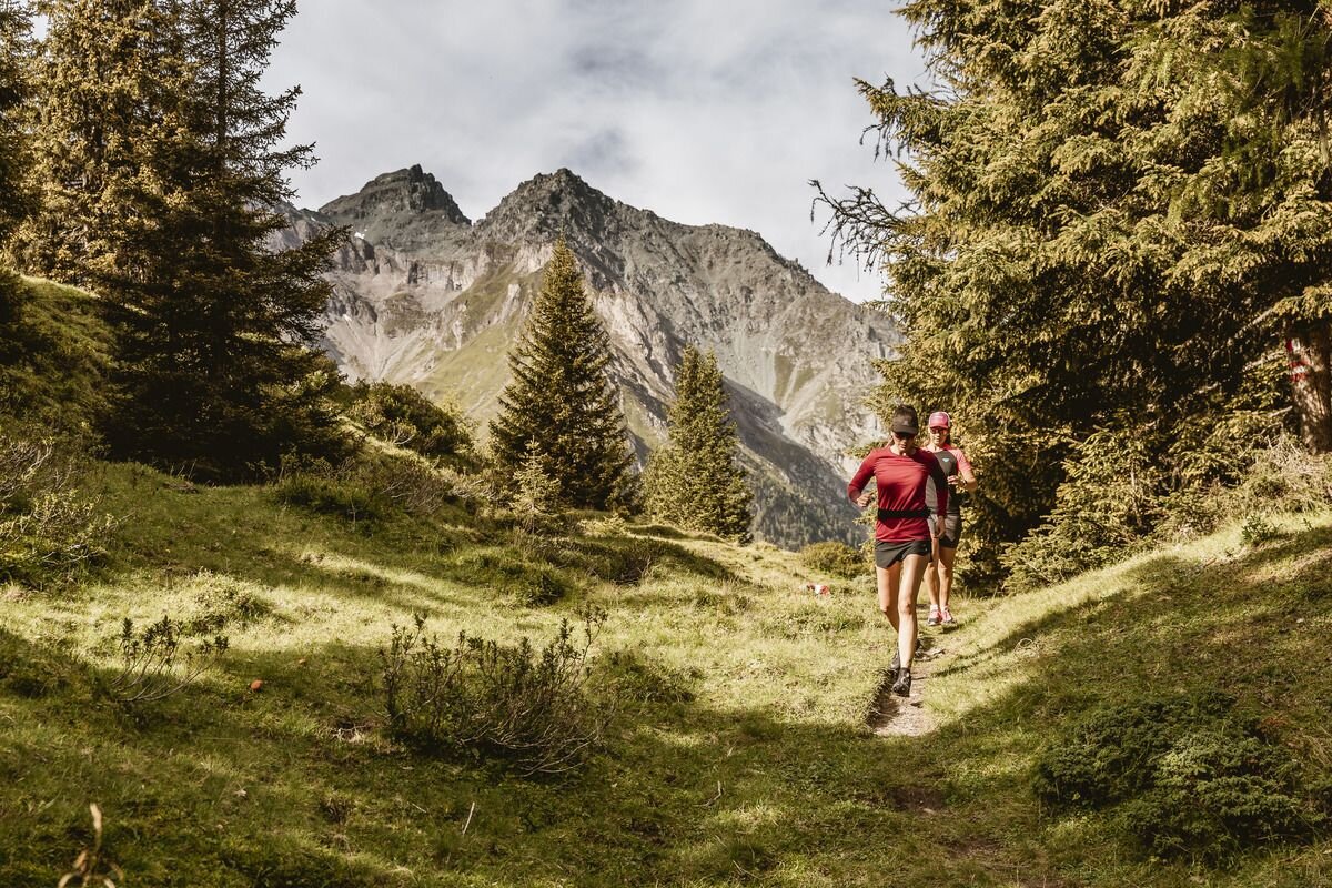
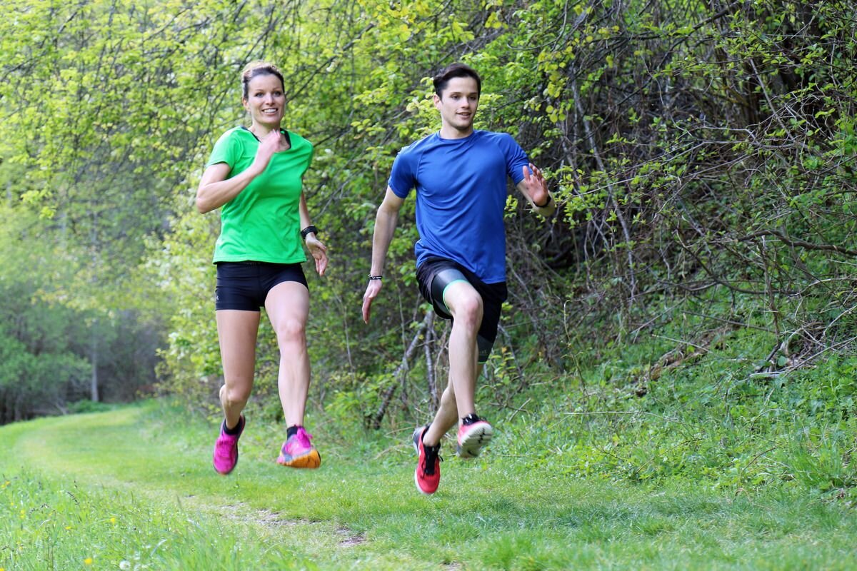
Trailrunning
Oberland-Trail | Terra Raetica Trails


Opening status | Open
The route starts at the information office in Ried. It continues towards the swimming lake and leads under the underpass onto a footpath alongside the River Inn towards Gstals or Serfauser Straße. After crossing the bridge towards Serfaus-Fiss-Ladis, the trail branches off to the left towards the Lourdes Chapel and on to Tösens. Following the Via Claudia Augusta, the route winds its way up through Frauns to the Serfaus fields and on to the village of Serfaus. From Untergasse, a forest path leads down to the little church of St. Georgen, which offers a beautiful view. After a short stretch along the road, the route continues on a path to Untertösens and back to the starting point via the Via Claudia Augusta.
tour1
674m
16.94km
Highest point
1424m
Start point
Information Office | Ried
End point
Information Office | Ried


