















Mountainbike tour
749 | Tschingls - St.Ulrich


Opening status | Open
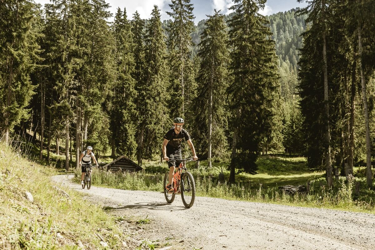
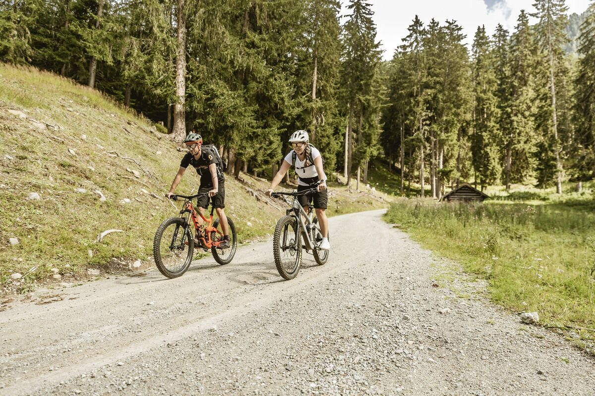
Due to its length and the small differences in altitude, this tour is particularly suitable for families who want to explore the Inn Valley without neglecting the sporting aspect. From the starting point in Pfunds, follow the signposted cycle path R8 (Via Claudia Augusta) or R3 (Inn Cycle Path) through the winding streets of the village. Heading west, the route now winds along a quiet tarmac road past the Kajetansbrücke bridge through lush meadows. After the hamlet of Tschingls, the surface changes to a forest path at the junction. Once you reach the small, somewhat hidden pond, the Fischeralm invites you to take a break and stop for refreshments. To return, turn right at the signposted junction and, after a short stretch along the main road, follow the forest path uphill towards Ortisei. From the Ulrichswald forest, the route then descends to Pfunds and back to the starting point.The last section involves the most metres in altitude. If you want to take the more leisurely option, take the same route back as on the outward journey.
tour1
230m
11.74km
Highest point
1114m
Start point
Touristoffice | Pfunds
End point
Touristoffice | Pfunds


