


Mountainbike tour | ...
7132 | Pfundser Tschey - Platzer Alm


Opening status | Open
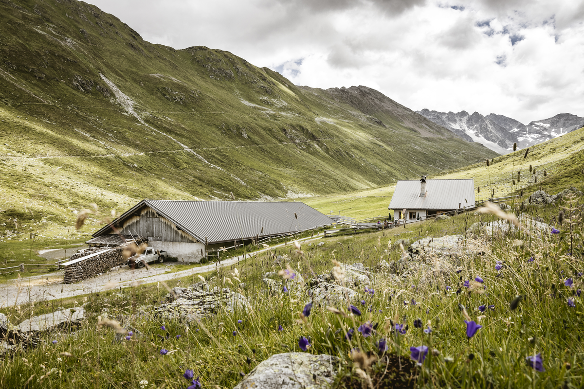
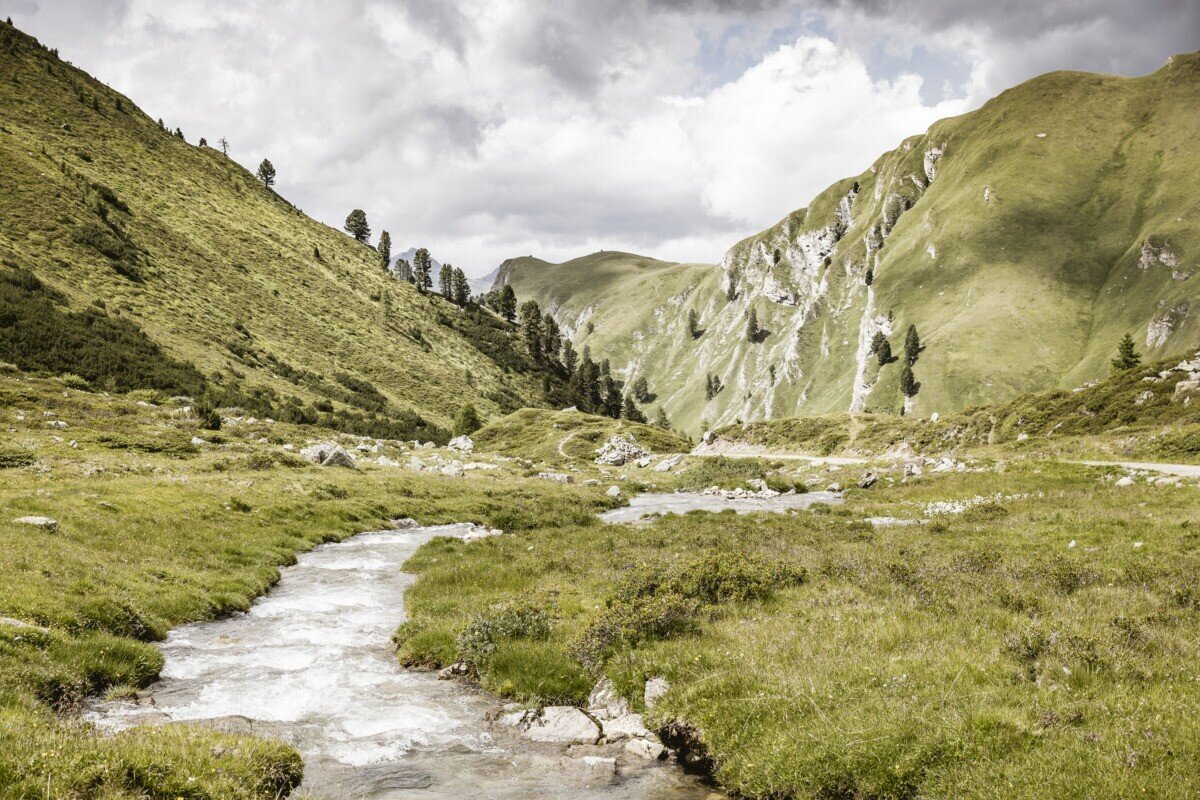
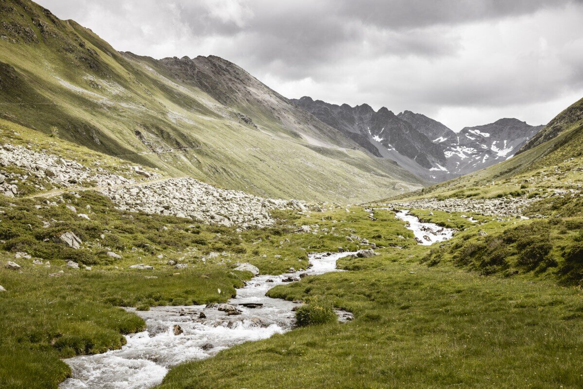
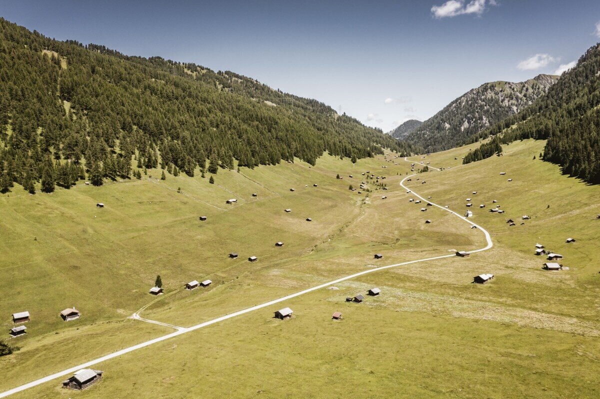
From the starting point in Pfunds, after leaving the cycle path, the route immediately heads uphill onto the Eggeleweg, at the end of which the route branches off to the right in the direction of Pfundser Tschey. The tour initially runs parallel to the Gschneier Alm route (MTB 755). So if you are still undecided at the start, you can decide on a route at the latest at the Greiter Säge junction. First of all, take the asphalt road uphill, past Margreid and Greit to the Greiter Säge and on to the Pfundser Tschey car park. From here, the breathtaking high valley opens up with its lush mountain meadows and countless hay barns. After crossing and reaching the highest point of the Pfundser Tschey, turn right and shortly afterwards follow the Platzbach stream, which penetrates deeper and deeper into the Platzertal valley. The ascending forest path crosses several bridges and always remains within earshot of the Platzbach stream. Following the forest path, you reach the Platzer Alm at 2,180 metres above sea level. During the alpine season, drinks and specialities are available for refreshment. If you still have some energy left, you can explore the restored ruins of the old Plaztertal mine on foot. The return journey follows the same route.
tour1
1207m
13.64km
Highest point
2182m
Start point
village roundabout | Pfunds
End point
Platzer Alm | Pfunds


