Hiking tour

Valley hiking trail "Via Claudia Augusta" section Prutz - Fließ

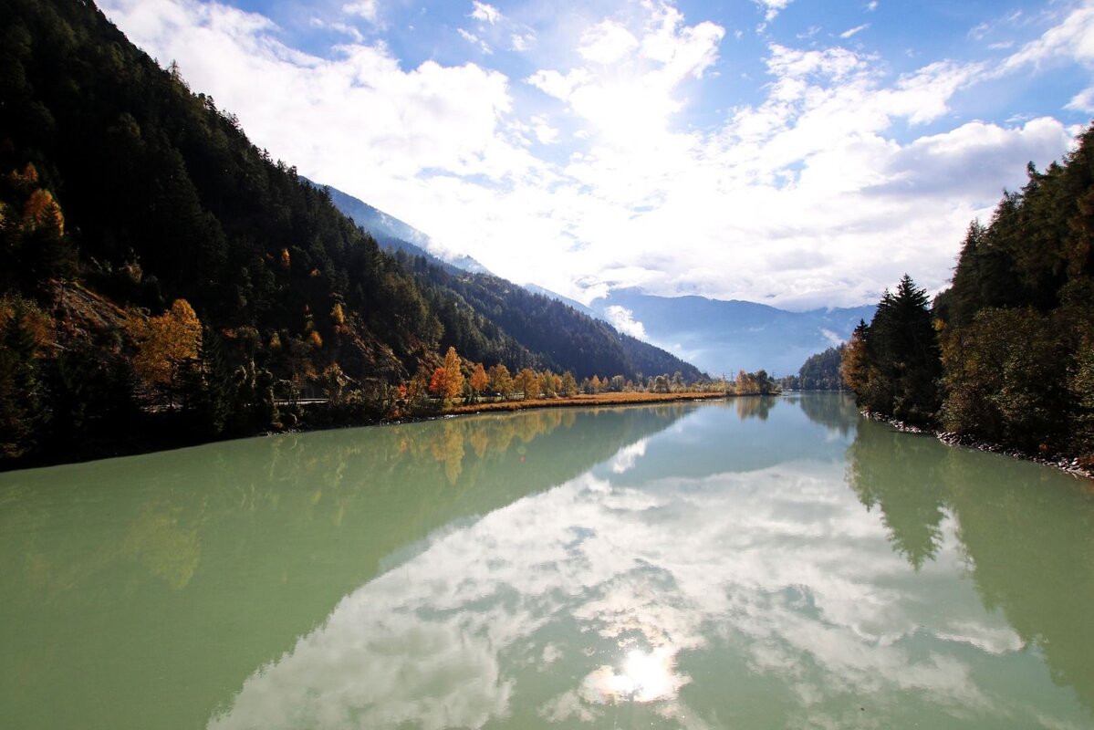
From Prutz this hike leads over the bridge to the Entbruck district. The path leads right to the Pontlatzbrücke bridge, from there immediately left along the Inntalradweg to the power station, then take the stairs on the right and cross the main road. It follows a cart path to Fließ on the right (signposted).
324m
6.9km
Highest point
1071m
Start point
Prutz
End point
Fließ

Similar Tours

Difficult
700m | 4km
Hiking tour
Ganderbildspitze, 2.863 m
Begin: Bergstation Bergkastel
Medium
912m | 6.3h | 11.53km
Hiking tour
Lahnkopf
Begin: Parking area Tscheylücke | Pfunds
End: Parking area Tscheylücke | Pfunds
Easy
226m | 2.5h | 6.4km
Hiking tour
Über den kleinen Mutzkopf retour nach Nauders
Begin: Bergstation Mutzkopf
End: Talstation Mutzkopf
Medium
529m | 4.37h | 11.9km
Hiking tour
Hohenzollernhaus
Begin: Parking area Wildmoos | Pfunds
End: Parking area Wildmoos | Pfunds
Medium
400m | 8.7km
Hiking tour
Trail - Parcour - Mutzkopfrunde
Begin: Talstation Mutzkopflift
End: Gasthof Martha
Easy
804m | 6.7km
Hiking tour
Bergkastel via Taschaloch
Begin: Nauders Zentrum
End: Bergstation Bergkastelseilbahn
Medium
579m | 4.83h | 13.24km
Hiking tour
Platzer Alm
Begin: Parking area Tscheylücke | Pfunds
End: Parking area Tscheylücke | Pfunds