








Hiking tour

Staföller Alm

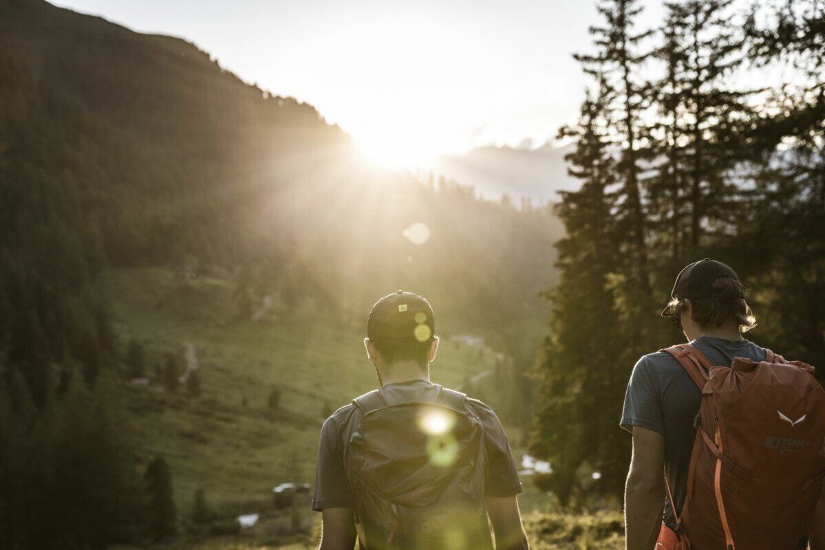
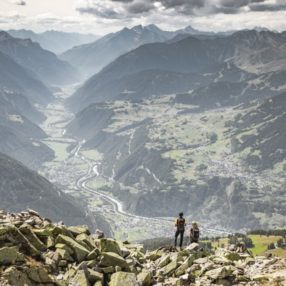
The hike starts at the tourist office in Ried. At the southern edge of the village, a paved road branches off to the left and leads gently uphill across the Langwiese, passing lush fields and meadows as well as a single farm. After crossing the Christiner Bach, the route continues along a paved road to the hamlet of Freitzberg. From there, a forest road leads steadily uphill through shaded woodland to the Stafföler Alm, which is not serviced and is located at the tree line. At the top, you are rewarded with beautiful views of the Upper Inn Valley and the Serfaus-Fiss-Ladis plateau.

tour1
8.5:0h
1113m
19.92km
Highest point
1988m
Start point
Infobüro TVB | Ried im Oberinntal
End point
Infobüro TVB | Ried im Oberinntal

Similar Tours

Easy
368m | 4.5h | 8.3km
Hiking tour
Schwarzer and Grüner See
Begin: Bergstation Mutzkopf
End: Talstation Mutzkopf
Medium
226m | 1h | 0.79km
Hiking tour
Verpeilschlucht
Begin: Quellalpin
Medium
547m | 7.2km
Hiking tour
Via Stables to the Jochelius mountain resort
Begin: Kirche zum Hl. St. Valentin Nauders
End: Bergresort Jochelius
Easy
85m | 1h | 2.6km
Hiking tour
Bergkastel mountain hiking trail
End: Bergstation Bergkastelbahn
Medium
980m | 7h | 13.2km
Hiking tour
Thomas Penz Höhenweg
Begin: Feichten
End: Feichten
Medium
400m | 8.7km
Hiking tour
Trail - Parcour - Mutzkopfrunde
Begin: Talstation Mutzkopflift
End: Gasthof Martha
Difficult
1118m | 8.2h | 17.98km
Hiking tour
Zirmesspitze
Begin: Parking area Seilbahn Talstation | Ried im Oberinntal
End: Parking area Seilbahn Talstation | Ried im Oberinntal
Medium
973m | 6.75h | 9.89km
Hiking tour
Madatschkopf und Mooskopf
Begin: Parkplatz Verpeilalm
End: Parkplatz Verpeilalm