



















Walkway
Pine hiking trail


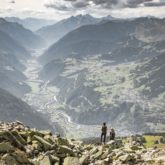
The leisurely hike begins after the ascent with the Zirmbahn cable car at 2,496 m. The route goes flat to the south to the viewing platform, from which you can marvel at the high alpine rock walls from the Bergkastel to the Klopaierspitze (foothills of the Ötztal Alps on the main Alpine ridge). The Hiking trail no. 35 leads down towards the Almtäler to the “Öttalis Kreuz”. Alternatively, you can descend to Stieralm via Trail no.35a. From the cross the route goes along the family hiking trail with a wonderful mountain panorama to the north to the Bergkastel mountain station. The route impresses with a particularly diverse flora. Hikers discover junipers, alpine roses, mountain anemones or dwarf shrubs, for example.
2.3km
Highest point
2488m
Start point
Zirmberg
End point
Bergkastel Bergstation


