Hiking tour

Gschneier Alm - Lahnkopf - Platzer Alm

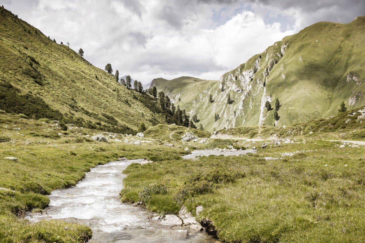
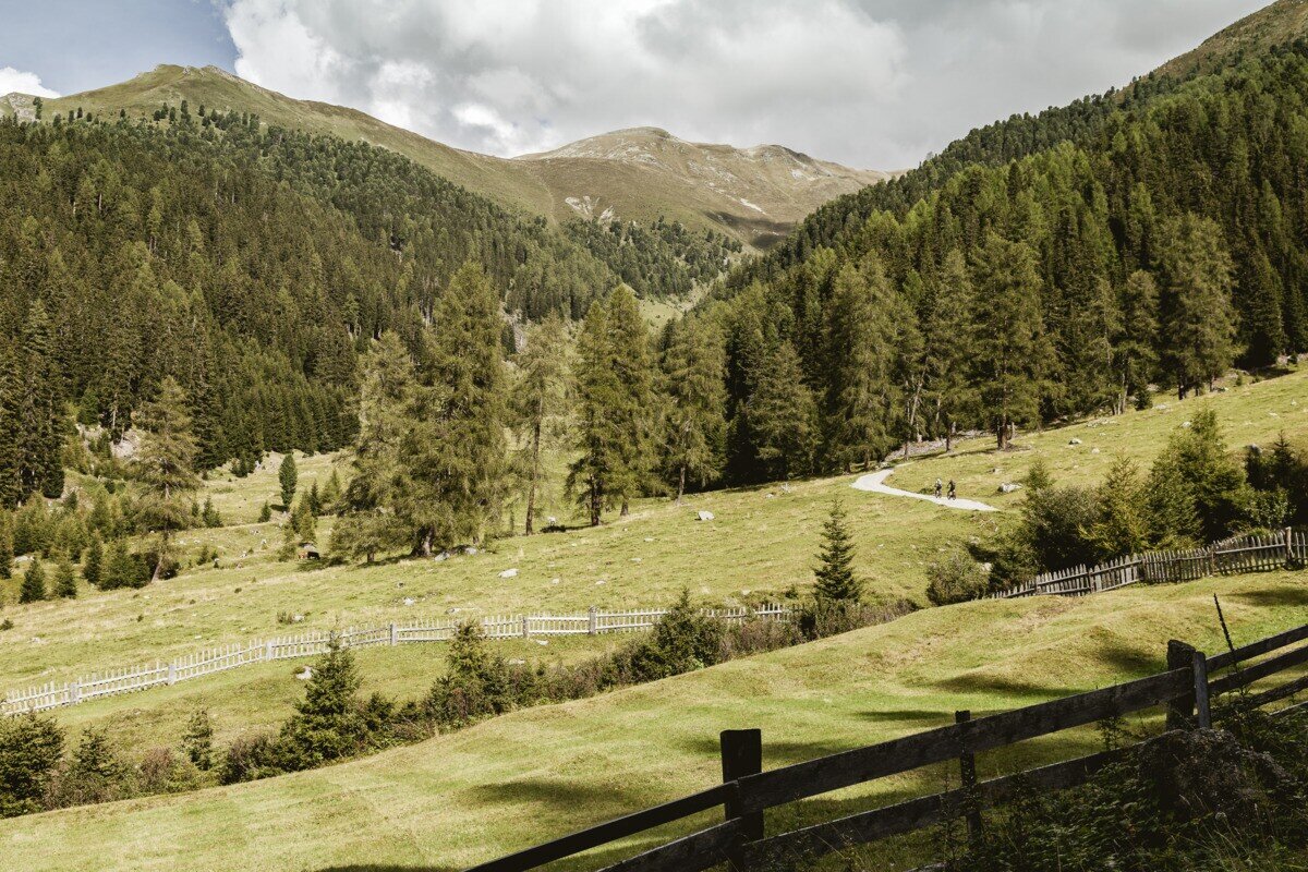
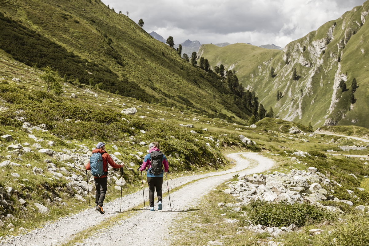
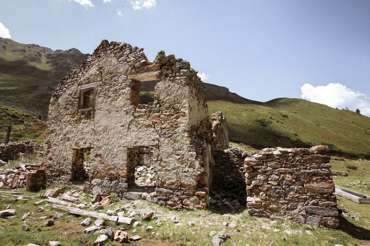
The hike begins at the Greiter Säge, crossing the bridge and following the trail markers toward Gschneier Alm. Above the pasture, the ascent to Lahnkopf starts, offering impressive views from the summit. The descent continues along a trail to Platzer Alm. Passing the ruin of the old ore and silver processing buildings, the route leads into the Pfundser Tschey high valley. Finally, the trail passes by the chapel Maria Schnee before returning to the starting point.
tour1
7.2:1.8h
1038m
14.8km
Highest point
2549m
Start point
Parking area Tscheylücke | Pfunds
End point
Parking area Tscheylücke | Pfunds

Similar Tours

Difficult
700m | 4km
Hiking tour
Ganderbildspitze, 2.863 m
Begin: Bergstation Bergkastel
Medium
912m | 6.3h | 11.53km
Hiking tour
Lahnkopf
Begin: Parking area Tscheylücke | Pfunds
End: Parking area Tscheylücke | Pfunds
Easy
226m | 2.5h | 6.4km
Hiking tour
Über den kleinen Mutzkopf retour nach Nauders
Begin: Bergstation Mutzkopf
End: Talstation Mutzkopf
Difficult
1142m | 4.5h | 6km
Hiking tour
Glockturm
Begin: Hohenzollernhaus
End: Glockturm
Medium
400m | 8.7km
Hiking tour
Trail - Parcour - Mutzkopfrunde
Begin: Talstation Mutzkopflift
End: Gasthof Martha
Easy
804m | 6.7km
Hiking tour
Bergkastel via Taschaloch
Begin: Nauders Zentrum
End: Bergstation Bergkastelseilbahn
Medium
397m | 3h | 5km
Hiking tour
Knappensteig & Aussichtsplattform Adlerblick
Begin: Infobüro Kaunertal
End: Infobüro Kaunertal