Hiking tour

Large Schafkopf, 3.000 m

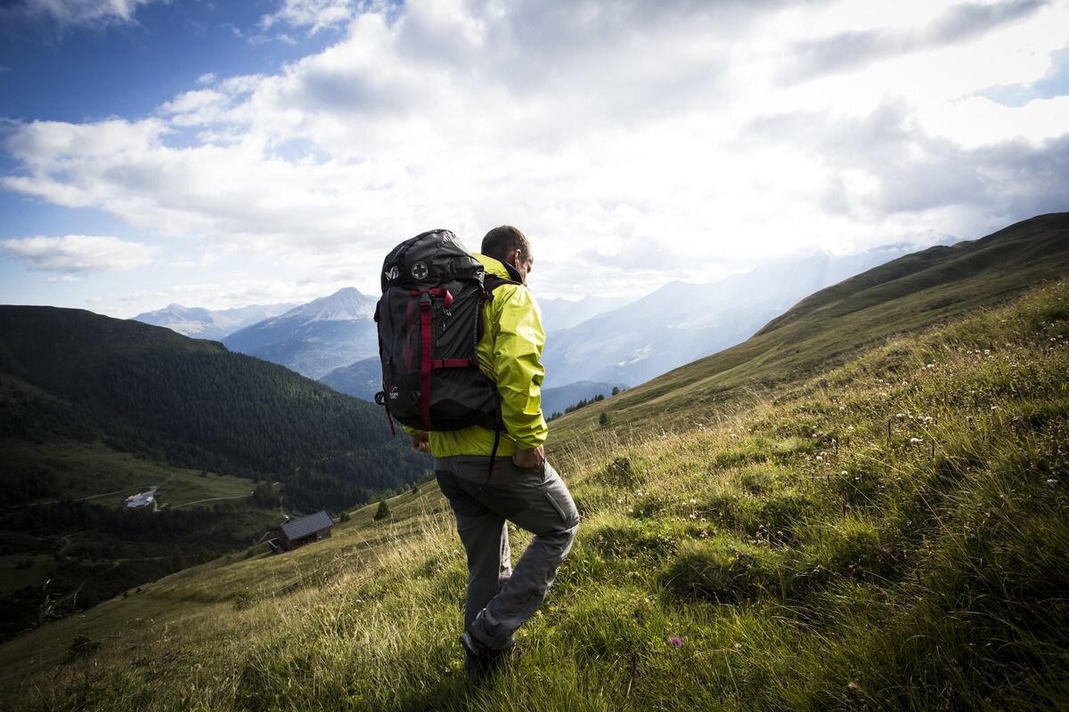
The summit tour is one of the highlights of the mountain tours in Nauders. After the Bergkastel cable car ascent, follow the signposted paths up to the Goldsee lakes. From there continue to Perdossscharte. To the east, a ridge first leads to the summit of the Mataunkopf (2,865 m). The route continues directly along the border between Italy and Austria (No. 45), with a deep view of Langtauferertal, to the large Schafkopf (3,000 m). To get back, either descend via Trail No. 21 or via the somewhat more difficult Trail No. 31 to the upper Mataun pastures. The route continues through Saletztal and over mountain meadows (No. 23) to Piengalm. Trail no. 19a leads back to the Bergkastel mountain station. A longer descent variant leads from Piengalm on Trail no. 19a to the mountain resort of Jochelius. From there the route goes over the Holy Tree pastures on foot into the valley.
 
tour1
8:0h
917m
16.8km
Highest point
3000m
Start point
Bergkastel Bergstation
End point
Nauders

Similar Tours

Medium
489m | 4.5h | 10km
Hiking tour
Von der Labaunalm zur Fluchtwand
Begin: Labaunalm
End: Fluchtwand
Easy
102m | 2.4km
Hiking tour
Via Lawerz to Norbertshöhe
Begin: Nauders Zentrum
End: Gasthof Norbertshöhe
Easy
280m | 2h | 4.5km
Hiking tour
Rundwanderung Schnadiger Weiher
Begin: Falpaus Martinskapelle
End: Falpaus Martinskappelle
Medium
160m | 2h | 6.2km
Hiking tour
Rundwanderung Faggen über Kauns
Begin: Fußgängerbrücke an der Kaunertal Landesstraße, nahe der Fischerranch (Ausgangspunkt Beschreibung!) Parkplatz Gemeindeamt Faggen Gemeindeamt Kauns
End: Infobüro Prutz / Fußgängerbrücke an der Kaunertal Landesstraße, nahe der Fischerranch (Ausgangspunkt Beschreibung!) | Parkplatz Gemeindeamt Faggen | Gemeindeamt Kauns
Medium
418m | 3.5h | 6.7km
Hiking tour
Weißseejoch 2.960 m
Begin: Kaunertaler Gletscherstraße 2.520 m Seehöhe oberhalb Weißsee
Medium
808m | 4.5h | 11.3km
Hiking tour
Hohenzollernhaus - Berg
Begin: Parkplatz Wildmoos
End: Hohenzollernhaus
Medium
1091m | 7h | 12.9km
Hiking tour
Hahntennen - Kreuzjoch
Begin: Parkplatz Kobler Alm
End: Parkplatz Kobler Alm
Medium
1131m | 7h | 4.3km
Hiking tour
Ölgrubenjoch
Begin: Gepatschhaus
End: Ölgrubenjoch