















Seeles Seen


A short walk amidst a fabulous high-mountain backdrop!
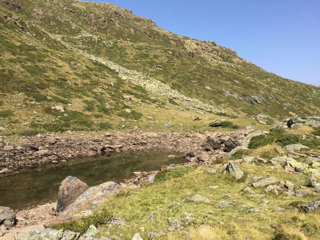
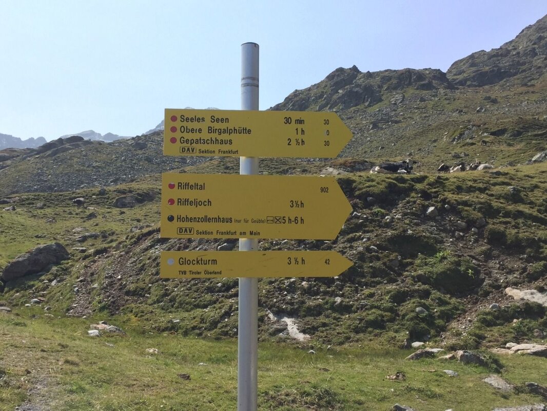
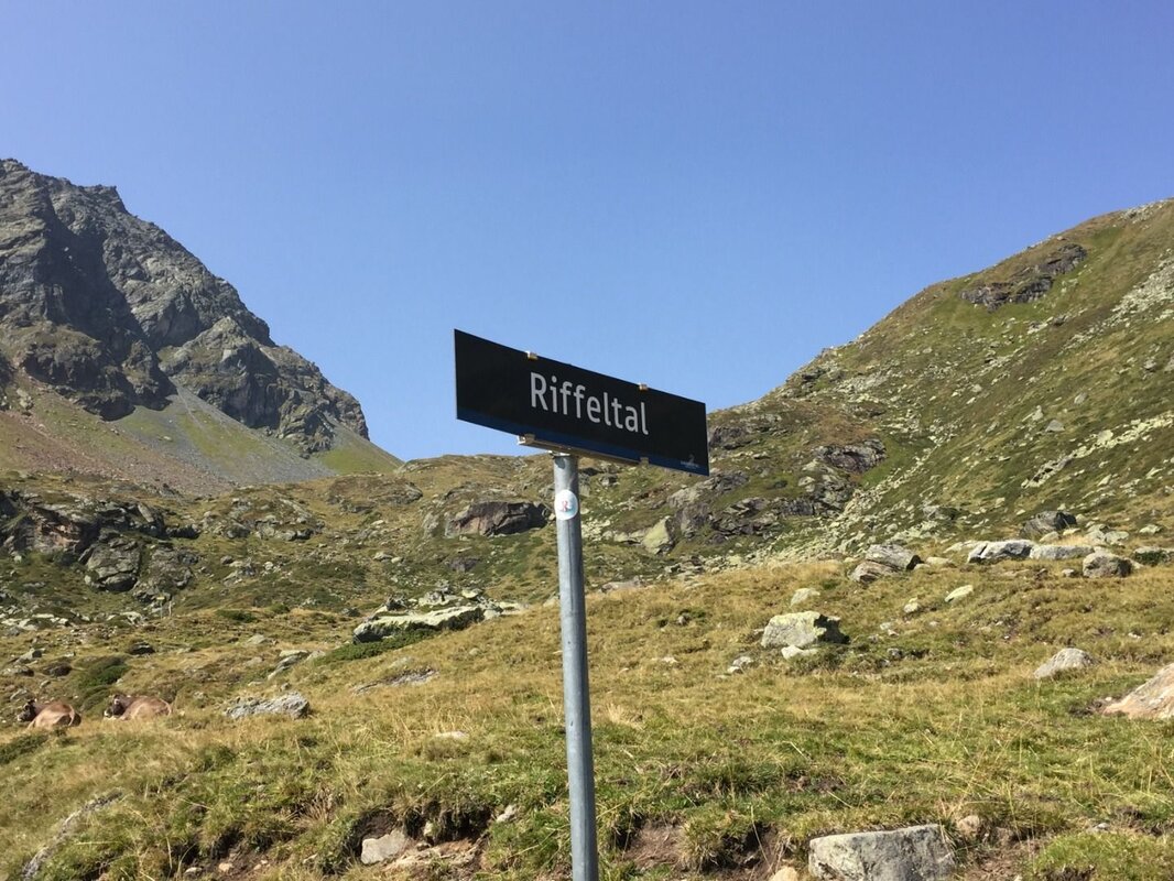
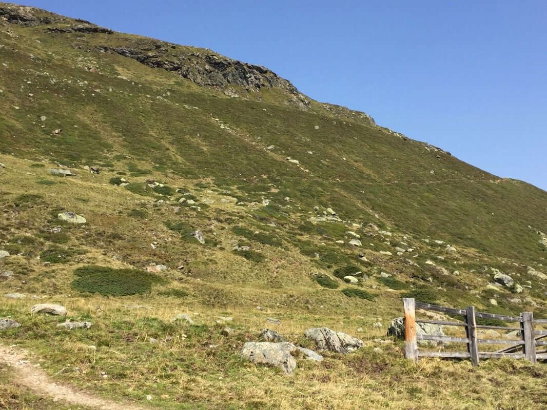
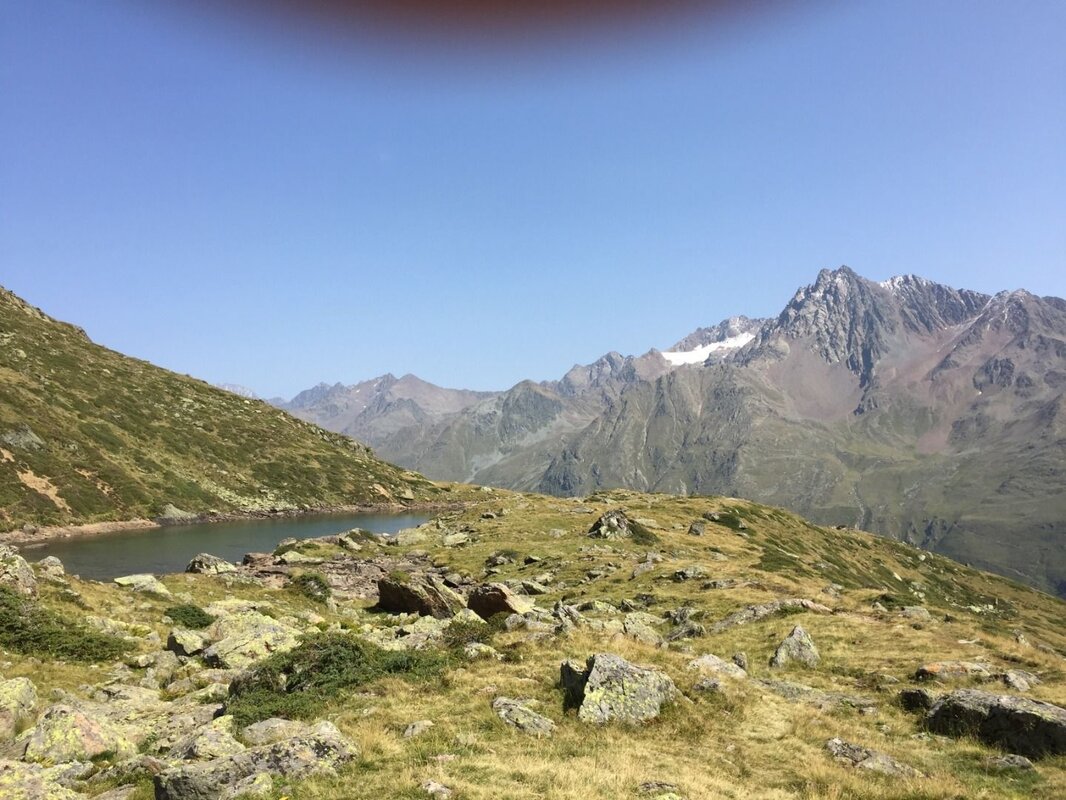
This walk is ideal for anyone who wants to enjoy the high-mountain landscape a little more fully as they walk along the Glacier Road. You park in a small, signposted lay-by called ‘Riffeltal’ at 2,335 m. Wearing a pair of sturdy shoes, you walk uphill along the well-signposted and gently sloping path for about 30 minutes to the picturesquely situated Seeles Lakes.
Just below the lakes, several distinctive ridges run parallel to the slope. These are lateral moraines formed by the glacier’s advance some 12,500 years ago – it was only thanks to these moraines that the Seeles Lakes were able to form.
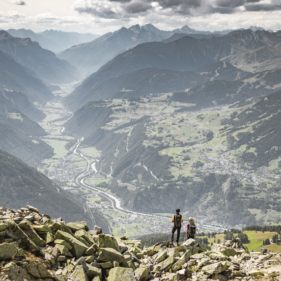
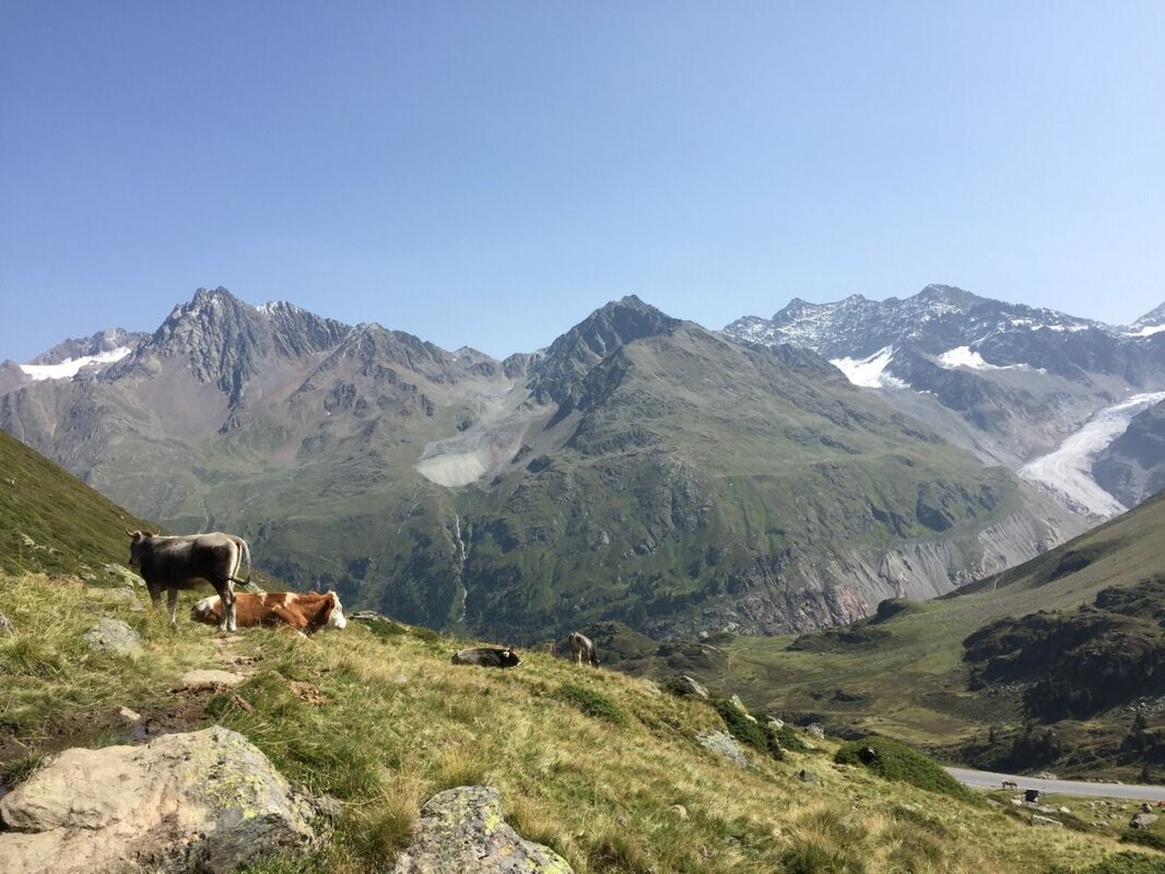
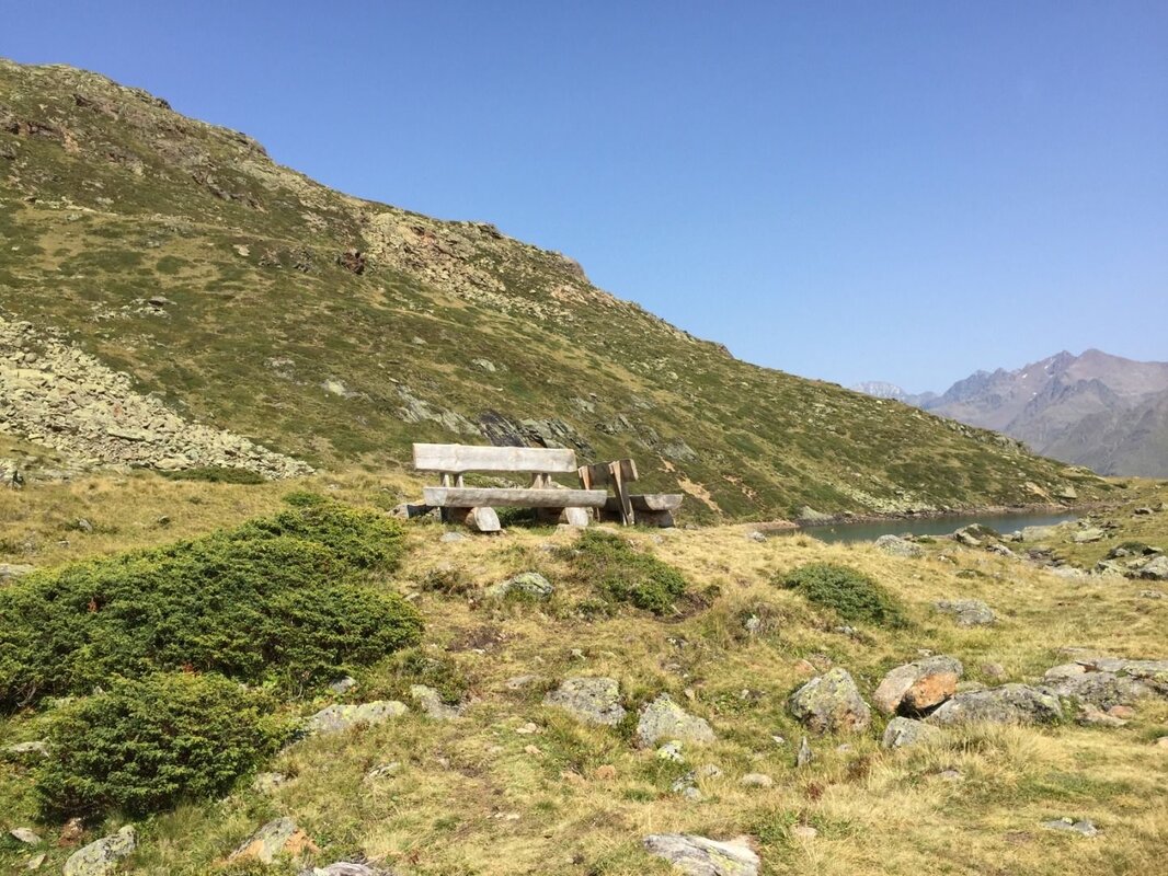
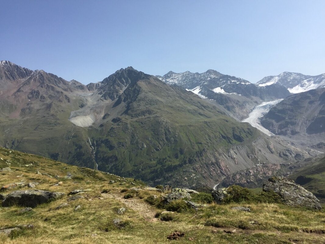
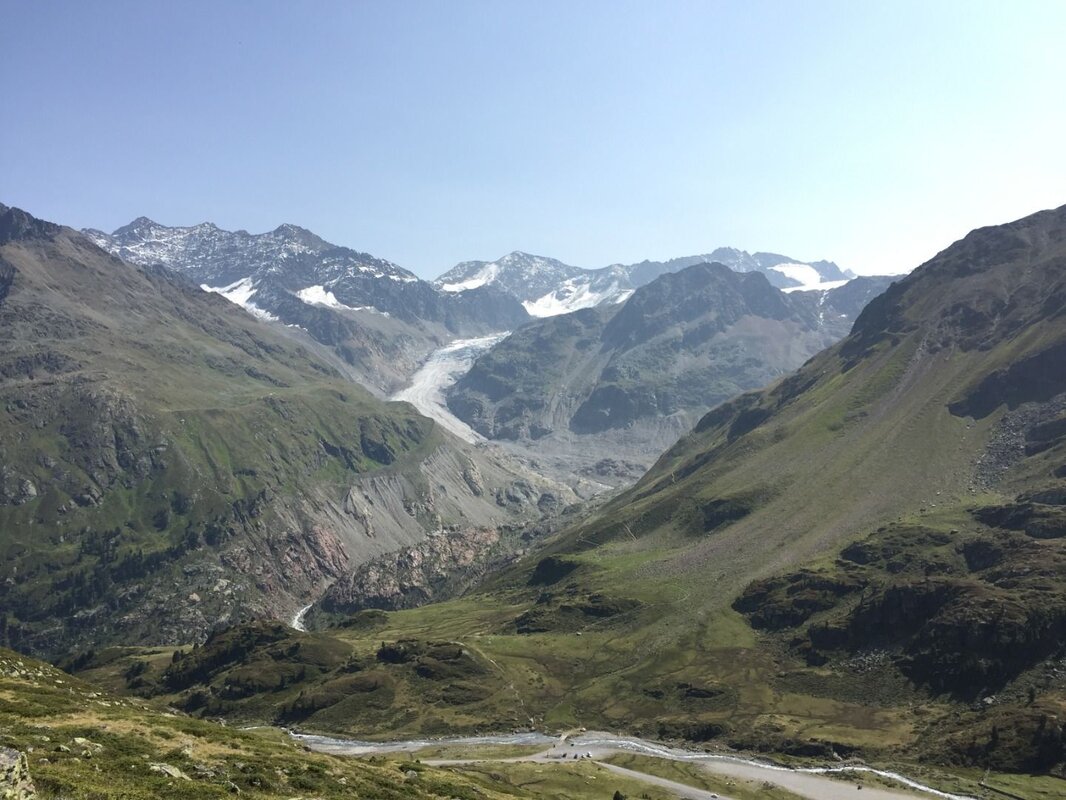
On the moraine, right by the lake, there is now a rest area at 2,416 metres above sea level. From there, you have a breathtaking view of the Gepatschferner glacier tongue, the striking glacier foreland with its distinct lateral moraines dating from 1850, the large rock glacier in the Ölgrube, and the summits of the surrounding 3,000-metre peaks, such as the Vordere and Hintere Ölgrubenspitze or the Schwarzwandspitze. It is hard to imagine that, 12,500 years ago, the glacier literally reached right up to your feet!
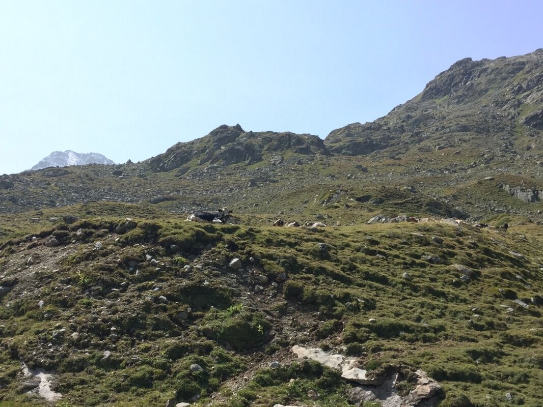
Although the Seeles Lakes are a popular destination for day trips, it is still perfectly possible to take in the landscape at your own pace here. Constant companions in this area are marmots and, of course, the grazing livestock that spend the summer months on the vast alpine pastures of the Birgalm.
The descent follows the same route back to the starting point. Along the way, you may still have time to take a closer look at the beautiful dwarf shrub heathland, with its blueberries and cranberries, chamois heath and dwarf juniper.
Bibliography:
K. Krainer (2016): Naturpark Kaunergrat (Pitztal-Fließ-Kaunertal), Gesteine, Gebirgsbildung und Formung der Landschaft.


