














Kauner Wald- und Strauchlehrpfad
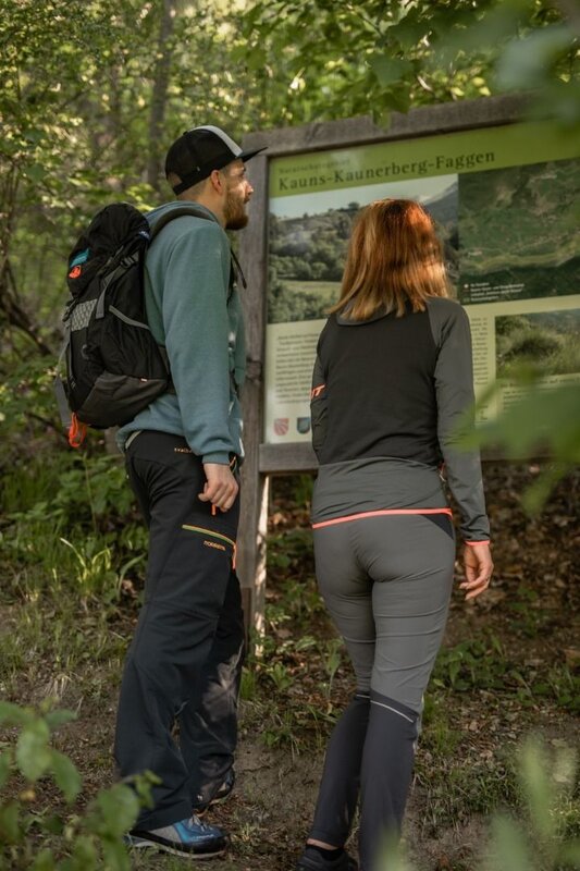
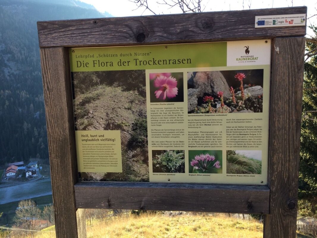
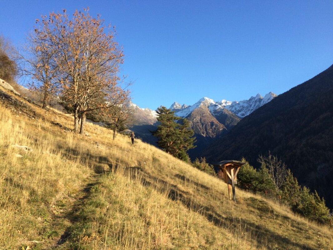
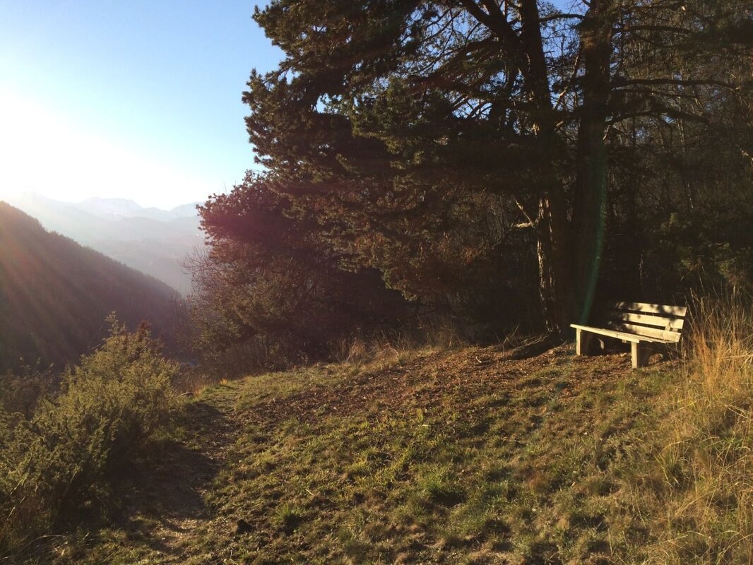
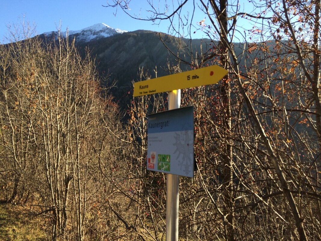

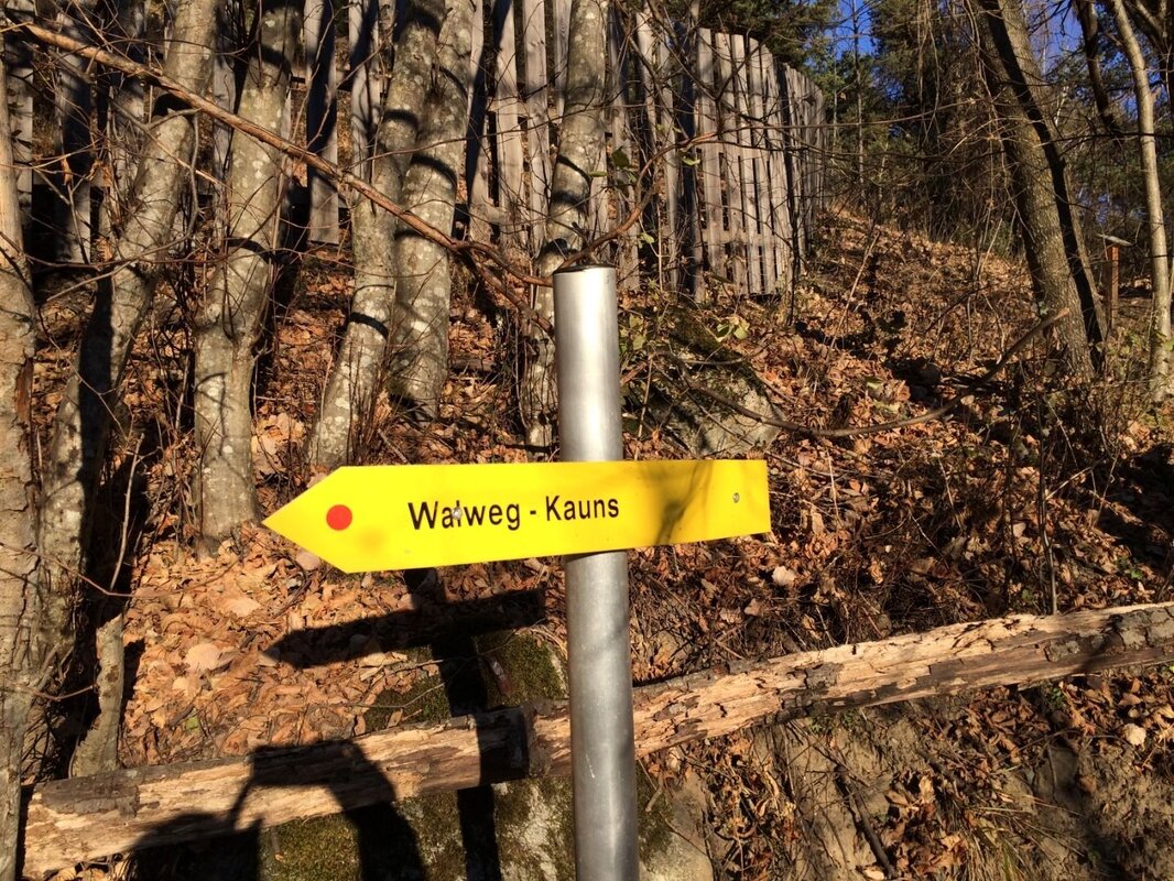


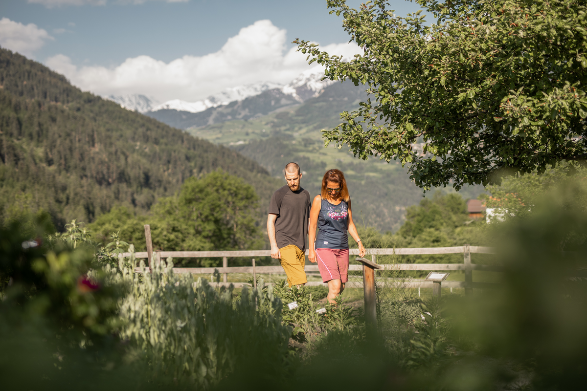


An enjoyable walk along the informative themed trail in the Kauns-Kaunerberg-Faggen Nature Reserve.
The Kauns-Kaunerberg-Faggen Nature Reserve is home to a wide variety of heat-loving animal and plant species and is regarded as a biodiversity hotspot. To preserve this valuable habitat, the semi-arid grasslands found in Kauns are grazed by goats and sheep.
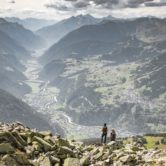
After the climb through the village, the nature trail turns right shortly after the torrent control works and leads uphill through a beautiful wood. Later, you cross the road and enter the pastureland through a gate. During the summer months, you may well be greeted shortly afterwards by curious goats. You will soon reach the highest point of the walk and can enjoy the impressive view of the Kaunergrat. Along the beautifully laid-out path, there are plenty of interesting natural features to discover. At the Schloßbach waterfall viewpoint, the path then leads downhill. You briefly skirt the Kaunerberger Straße, but stay on the path downwards until you finally reach the main road. Follow this to the right, past Berneck Castle, back into the village.


