
















Walkway
Zur Schöpfwarte/Innblick
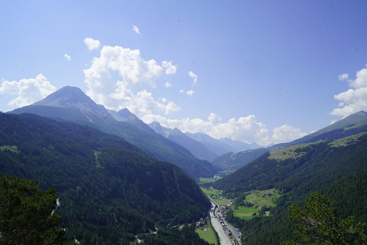

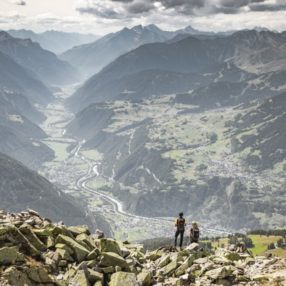
From the village the route takes you first into the so-called Lochmüle. The Hiking trail no. 1 leads over the Stillebach bridge and meadows to the crossroads (signpost), where you turn 90 degrees and follow the Trail no. 2 to the municipal pastures. From here you hike southwest through a larch forest towards the Gasthof Norbertshöhe and continue on Trail no. 1 to Schöpfwarte/Innblick. The lookout point was built before the First World War and offers an impressive panoramic view of the Lower Engadine, with the many peaks of the Sesvenna group and the Samnaun mountains. Then the route goes back to Nobertshöhe (refreshments available). After crossing the road, follow Route no. 4 to the quiet Mösle natural pond. The way back is on a beautiful path, across the Lawerzwiesen (Nauders view!), past the valley station of the Mutzkop lift, to Mühle. Alternatively, you can follow Trails 1 and 3 from Norbertshöhe.
1.5:0h
183m
4.4km
Highest point
1452m
Start point
Feuerwehrhalle Nauders/Lochmühle
End point
Schlosswiese


