








Hiking tour

St. Ulrichskopf

The hike starts at the Kaltenwirt in the Radurschltal valley. From there, the path first leads to the right into the forest. Shortly afterwards the trail branches off to the right again, where you follow trail marker no. 26. The route passes the drinking water spring of the municipality of Pfunds and continues steadily uphill to the Lukaskreuz.

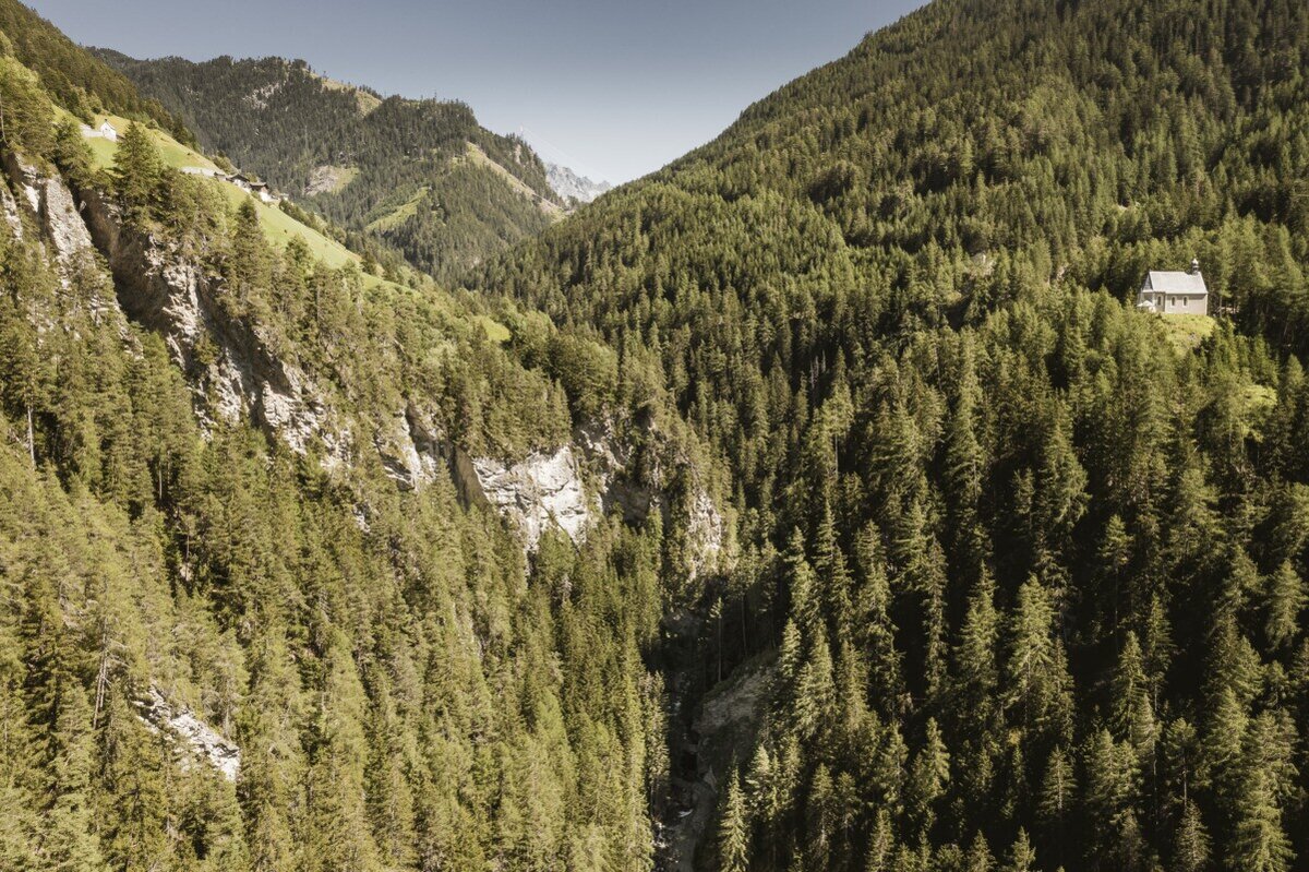
From Lukaskreuz, trail no. 27 continues towards St. Ulrichskopf. This trail, awarded the Alpine Trail Quality Seal, leads through a varied mountain landscape rich in alpine flowers and medicinal herbs. Along the way, the sound of bells from grazing cattle of the Saderer Alm accompanies the hike.

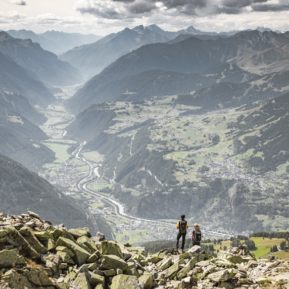
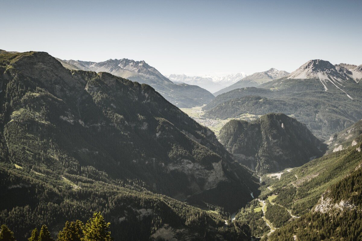
At the summit of St. Ulrichskopf, hikers are rewarded with an excellent panoramic view of the surrounding mountains. The descent follows the same route back to the Kaltenwirt.

tour1
7.5:0h
1132m
11.8km
Highest point
2453m
Start point
Parkplatz Wildmoos | Pfunds
End point
Parkplatz Wildmoos | Pfunds

Similar Tours

Easy
227m | 2.67h | 8.09km
Hiking tour
Skulpturenpark
Begin: Parkplatz Wildmoos
End: Skulpturenpark
Easy
16m | 1h | 3.5km
Hiking tour
Wanderung über Wanderweg 9c zum Riatschhof
Begin: Bergstation Mutzkopfsessellift
End: Nauders Dorf
Medium
489m | 4.5h | 10km
Hiking tour
Von der Labaunalm zur Fluchtwand
Begin: Labaunalm
End: Fluchtwand
Medium
910m | 6h | 8.2km
Hiking tour
Schweikertfernersee (2.680m)
Begin: Parkplatz Verpeilalm
End: Parkplatz Verpeilalm
Medium
1082m | 8.5h | 22.47km
Hiking tour
Hohenzollernhaus | übers Bergle
Begin: Parkplatz Wildmoos | Pfunds
End: Parkplatz Wildmoos | Pfunds
Easy
426m | 3.5h | 7.5km
Hiking tour
Sellesköpfe
Begin: Lochmühle
End: Mutzkopf Talstation
Medium
626m | 4.13h | 6.5km
Hiking tour
Matonkopf
Begin: Übersachsen | Tösens
End: Übersachsen | Tösens
Difficult
765m | 5h | 6.7km
Hiking tour
Weißseespitze über den Westgrat (3.526 m)
Begin: Parkplatz Gletscherrestaurant Weißsee
End: Weißseespitze