


Hiking tour
Rescher Alm
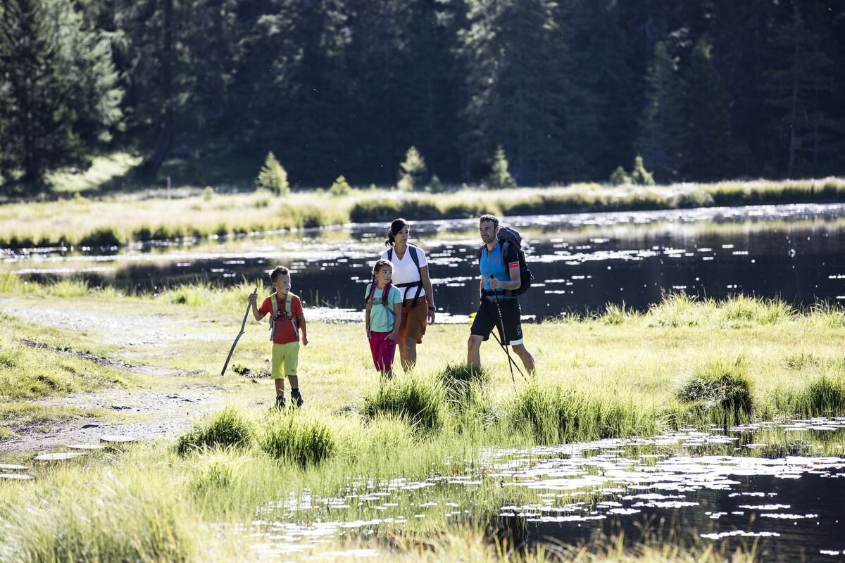

After ascent with the Mutzkopf chairlift, Hiking trail no. 9 leads to the Schwarzer See. The beautiful moor lake lies in the middle of a spruce forest and is ideal to walk around. Then the way continues on Route no. 6 or 6a to the Grüner See. Despite its high location, it is abundant in fish. Starting from the lake, a steep climb continues to the “Partoangs” mountain meadows. Further along the old military road you reach the Rescher Alm (2,000 m). The alpine pasture is located in the so-called triangle (Austria, Italy, Switzerland). You can enjoy a wonderful view of the Reschensee and the upper Vinschgau. The descent (No. 5) is via the Vallierteck, past the pilgrimage church, to the old town of Reschen. From here an hourly bus goes back to Nauders.
tour1
3:0h
438m
8.9km
Highest point
2025m
Start point
Bergstation Mutzkopf
End point
Reschner Alm


