


Hiking tour
Gschneier Alm
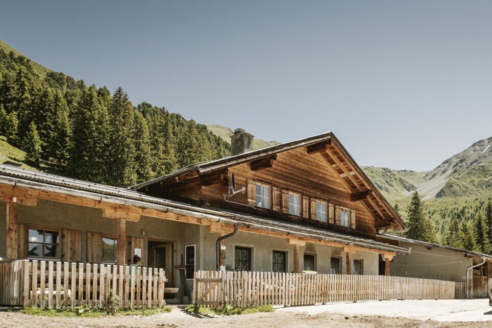
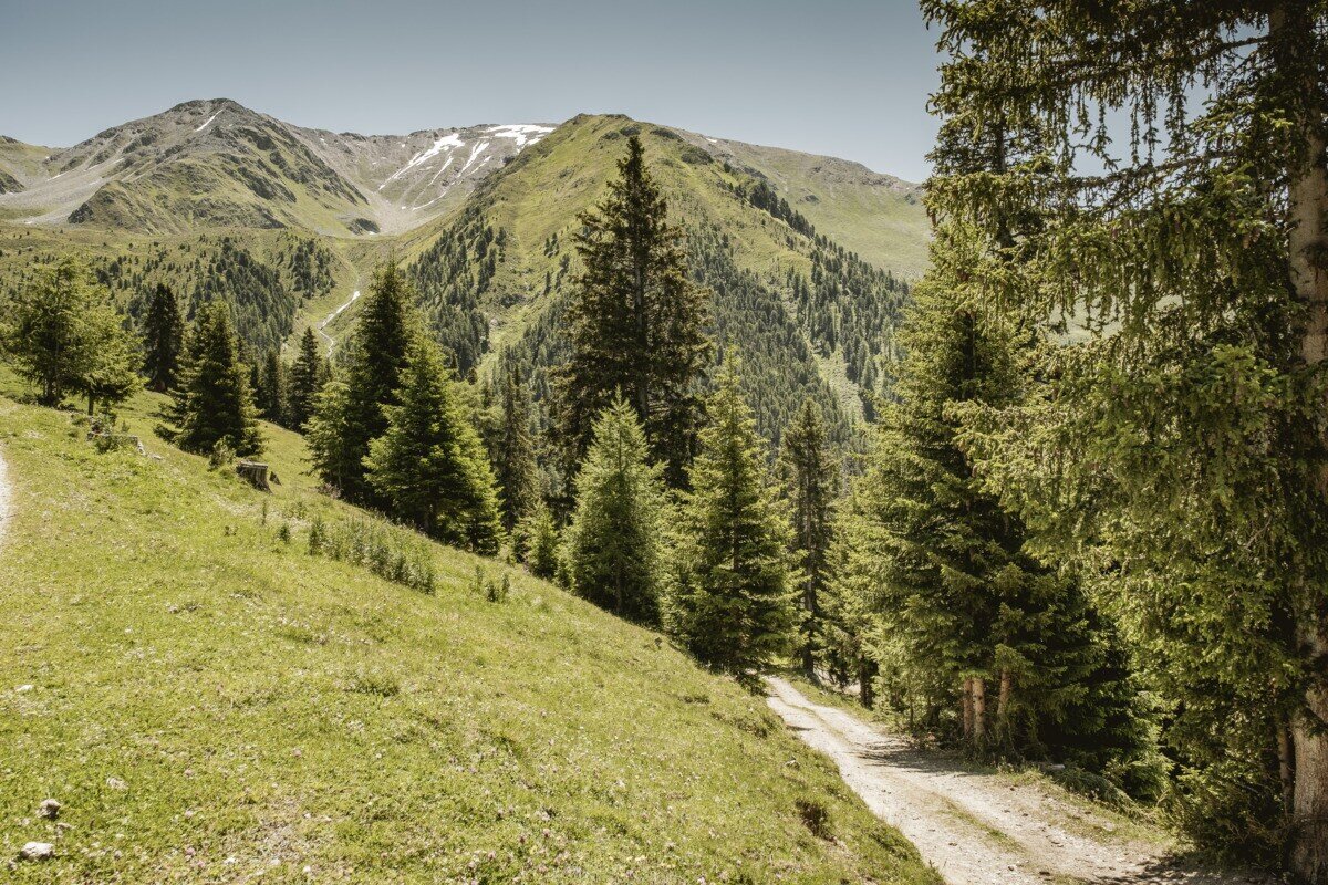


Starting at Greiter Säge at the entrance to the Pfundser Tschey, follow the signs toward Gschneier Alm. The route follows a mountain road with several switchbacks uphill to Gschneier Alm. The return follows the same route back to Greiter Säge / Tscheylücke.
tour1
3.7:4.1h
508m
8.62km
Highest point
2037m
Start point
Parking area Tscheylücke | Pfunds
End point
Parking area Tscheylücke | Pfunds


