







Hiking tour

Hantennen | Ochsenberg Alm
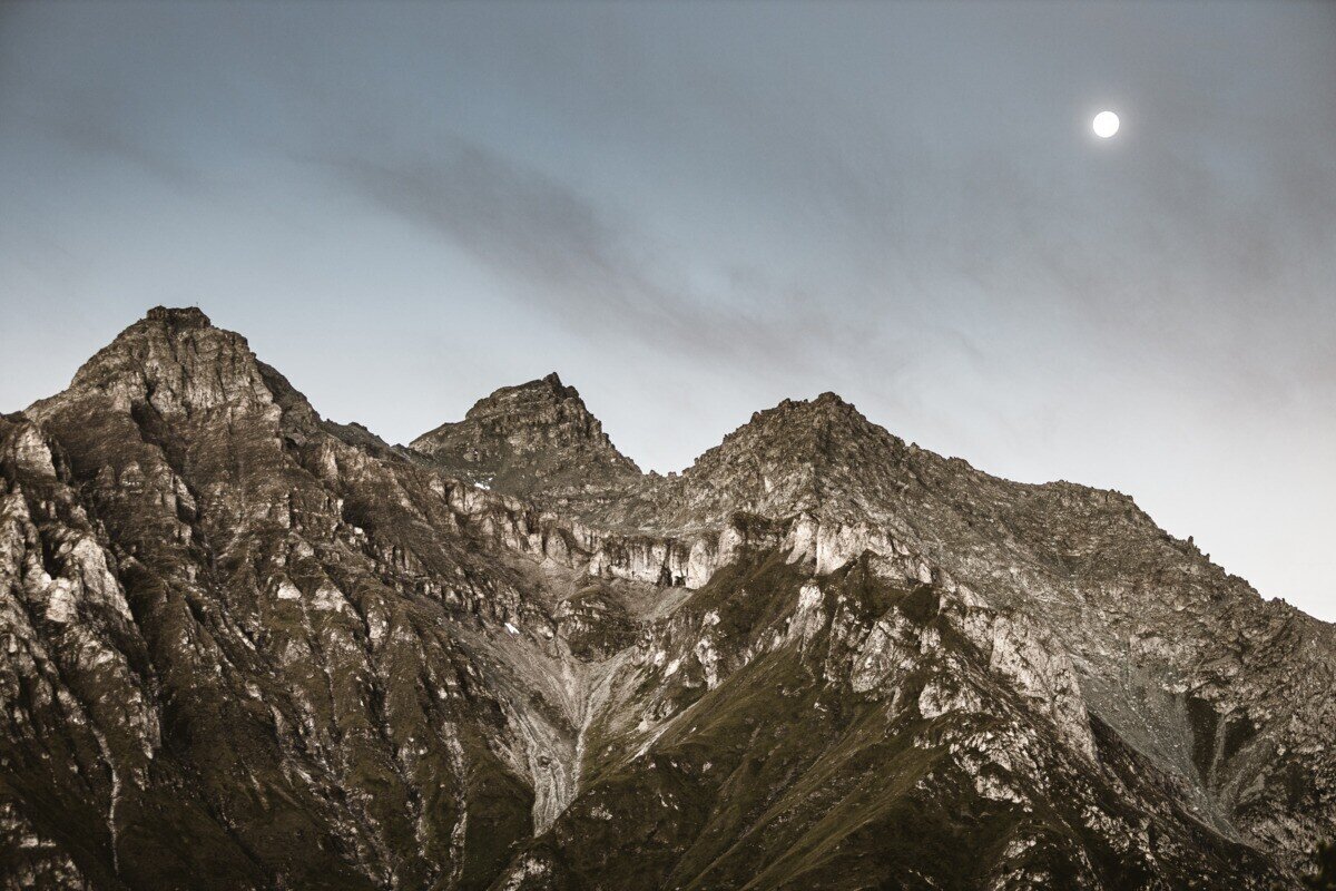
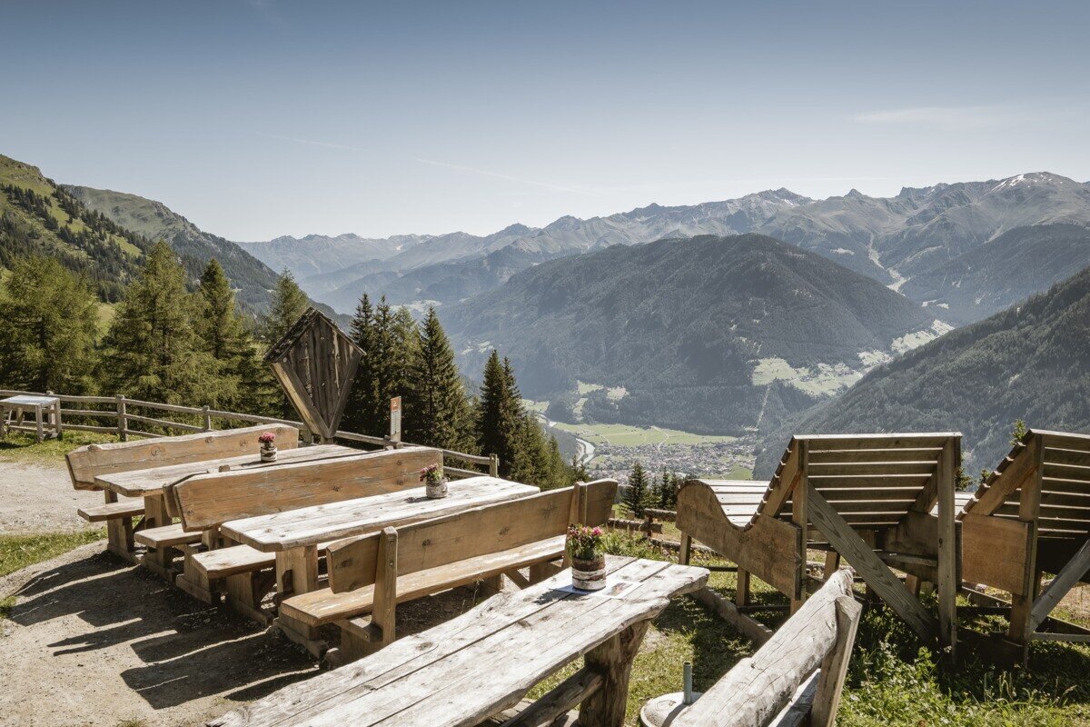
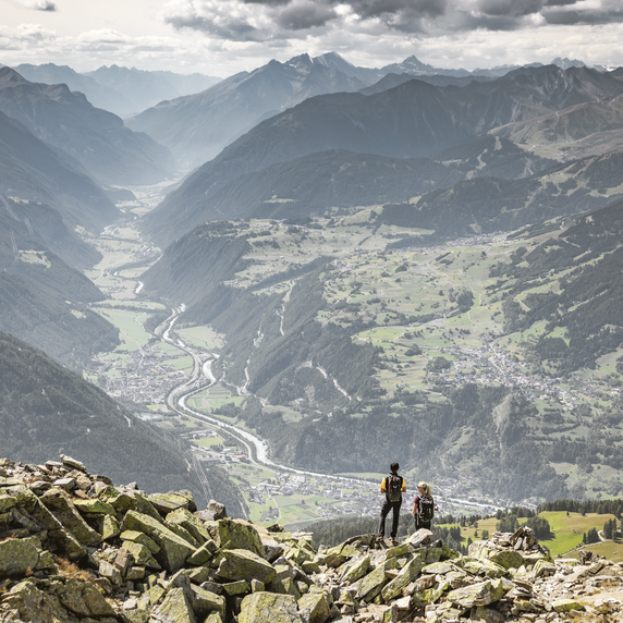
From Pfunds, drive up to Kobl to the parking area at Kobler Alm. From there, follow the alpine road through lush meadows up to Kobler Alm, where you can enjoy a wonderful view of Pfunds and the surrounding mountains. Right at the hut, a scenic high-altitude trail begins across the Kobler alpine meadows (trail no. 22). A narrow, gently ascending path branches off toward Hahntennenberg, offering beautiful views of Pfunds and the surrounding landscape along the way. After a short break, the trail continues across meadows and alpine pastures, gently descending to the left over the green grazing slopes toward Ochsenbergalm. From there, the route leads downhill until a signpost directs you back toward Kobler Alm. Following this path brings you back to the starting point at the Kobler Alm parking area, completing a beautiful circular hike.

tour1
8.7:3h
1166m
19.97km
Highest point
2248m
Start point
Parkplatz Kobler Alm | Pfunds
End point
Parkplatz Kobler Alm | Pfunds

Similar Tours

Difficult
908m | 4.9km
Hiking tour
Glockturm
Begin: Parkplatz Weißsee
End: Glockturm
Medium
588m | 4.92h | 13.5km
Hiking tour
Frudiger | Circular Hike
Begin: Parking area Tscheylücke | Pfunds
End: Parking area Tscheylücke | Pfunds
Medium
733m | 5.93h | 15.93km
Hiking tour
Anton Renk-Hütte | Großer See
Begin: Parking area Seilbahn Talstation | Ried im Oberinntal
End: Parking area Seilbahn Talstation | Ried im Oberinntal
Easy
588m | 4h | 11km
Hiking tour
Etschquelle
Begin: Nauders
End: Lärchenalm
Medium
593m | 4.5h | 9.2km
Hiking tour
Kaiserschützenweg - fortress variant
Begin: Festung Nauders
End: Nauders
Medium
658m | 4.83h | 10.71km
Hiking tour
Kaunerberg - Aifner Alm
Begin: municipal office | Kaunerberg
End: municipal office | Kaunerberg
Medium
547m | 7.2km
Hiking tour
Via Stables to the Jochelius mountain resort
Begin: Kirche zum Hl. St. Valentin Nauders
End: Bergresort Jochelius
Medium
263m | 2h | 4.4km
Hiking tour
Rundwanderung Ögghöfe
Begin: Infobüro Kaunertal
End: Infobüro Kaunertal