Hiking tour

Nach Pfunds von der Labaunalm

Opening status | Open
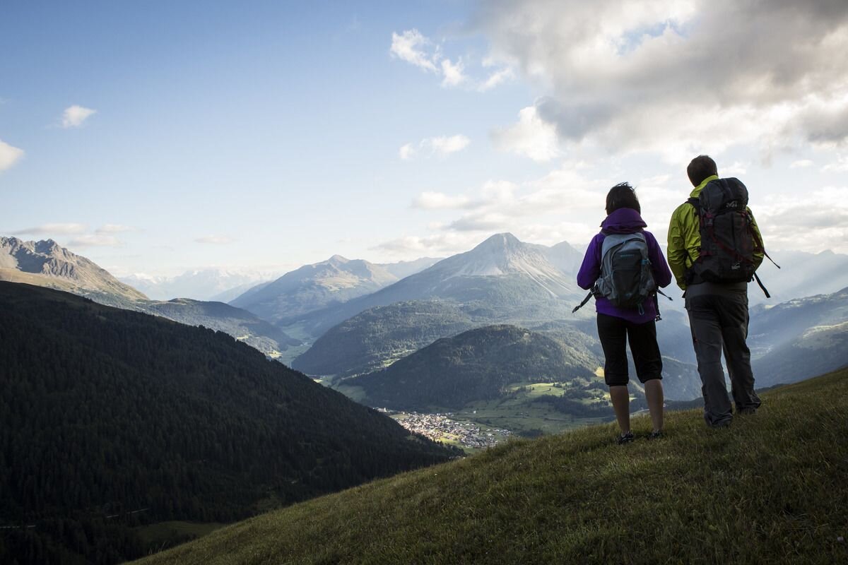
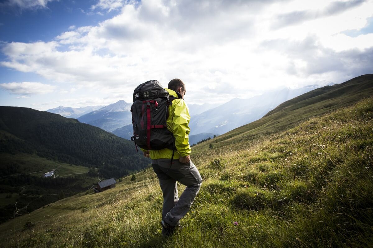
With the hiking taxi you first travel from Nauders to Labaunalm. Trail no. 14 leads to the Saderer Joch. Continue on Route no. 26, along the Sadresbach, down to the “Kaltenwirt” (approx. 1,460 m). From here you follow Trail no. 9 over the romantic, well-worth seeing gorge path to the village. When you arrive in Pfunds, you can take the Post bus back to Nauders.
tour1
6:0h
475m
11.7km
Highest point
2400m
Start point
Labaunalm
End point
Pfunds Dorf

Similar Tours

Medium
458m | 4.43h | 10.43km
Hiking tour
Anton Renk-Hütte | Rundwanderung
Begin: Parkplatz Seilbahn Talstation | Ried im Oberinntal
End: Parkplatz Seilbahn Talstation | Ried im Oberinntal
Easy
507m | 4h | 10.3km
Hiking tour
Großer Mutzkopf
Medium
418m | 3.5h | 6.7km
Hiking tour
Weißseejoch 2.960 m
Begin: Kaunertaler Gletscherstraße 2.520 m Seehöhe oberhalb Weißsee
Easy
82m | 1h | 1.7km
Hiking tour
Seeles Seen
Begin: Parkmöglichkeit Riffeltal (an der Gletscherstraße)
End: Seeles Seen
Difficult
1118m | 8.2h | 17.98km
Hiking tour
Zirmesspitze
Begin: Parking area Seilbahn Talstation | Ried im Oberinntal
End: Parking area Seilbahn Talstation | Ried im Oberinntal
Easy
150m | 4h
Hiking tour
Mösle - Pflanzgareten - Sclamishot
Begin: Nauders
End: Martinsbruck
Difficult
908m | 5h | 4.9km
Hiking tour
Glockturm
Begin: Parkplatz Weißsee
End: Glockturm
Medium
990m | 6.75h | 11.1km
Hiking tour
Stupfarri Köpfle (2.808 m) & Kugleter See (2.751 m)
Begin: Parkplatz unterhalb Hahntennen 1.830 m
End: Parkplatz unterhalb Hahntennen 1.830 m