







Hiking tour

Gamortal - Schartlkopf

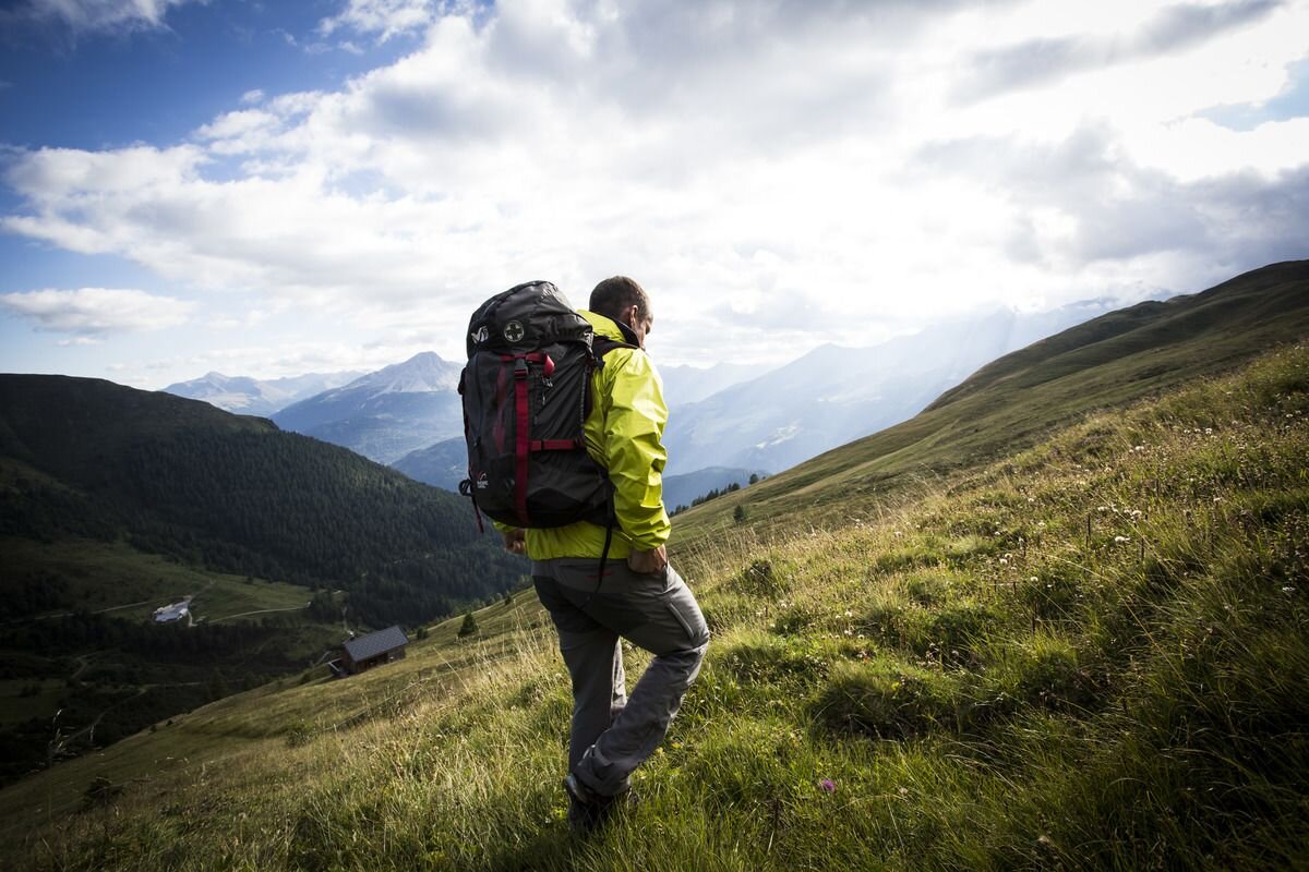
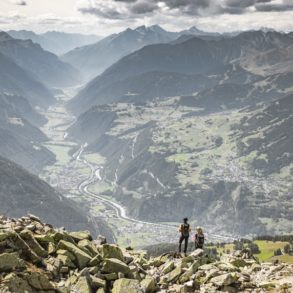
The Schartlkopf is the highest peak in the Nauders mountains, the last foothills of the Ötztal Alps between the Glockturmkamm and the Reschenpass. Route no. 17 branches off on the Parditschweg, above the village, and leads over the avalanche protection dam into Valrie. A narrow path along the stream leads into Gamortal, a quiet high valley. Alternatively, you can follow Trail no. 17a via Munt. We continue past Gamoralm (1,943 m) and then onto the mountain trail. A climb along the Gamorbach leads to the sandy pastures, past the small Gamorsee lake to the summit (2,810 m). The descent follows Trail no. 25, on which you reach another summit cross on the plain (2,555 m) after Valdafurnerkopf (2,748 m). The way back to Nauders goes via the Stableshof and through Wassertal (No. 18a).
tour1
8:0h
1353m
15km
Highest point
2781m
End point
Nauders

Similar Tours

Difficult
493m | 3h | 4.5km
Hiking tour
Rauhekopfhütte
Begin: Gepatschhaus
End: Rauhekopfhütte
Easy
588m | 4h | 11km
Hiking tour
Etschquelle
Begin: Nauders
End: Lärchenalm
Medium
949m | 6.42h | 11.18km
Hiking tour
Theierjoch | Perflkopf
Begin: Wand | Pfunds
End: Wand | Pfunds
Difficult
1024m | 7h | 14.6km
Hiking tour
Fluchtwand über Valdigastei
Begin: Nauders Dorf
End: Fluchtwand
Medium
973m | 6.75h | 9.89km
Hiking tour
Madatschkopf und Mooskopf
Begin: Parkplatz Verpeilalm
End: Parkplatz Verpeilalm
Easy
278m | 2h | 4.36km
Hiking tour
Kobler Alm
Begin: Parking area Kobler Alm | Pfunds
End: Parking area Kobler Alm | Pfunds
Medium
697m | 4.87h | 11.8km
Hiking tour
Thomas Penz Höhenweg (Langetsberg-Kehm-Feichten)
Begin: Quellalpin Feichten
End: Quellalpin Feichten
Difficult
1692m | 13.6km
Hiking tour
Über das Wallfahrtsjöchl vom Kaunertal ins Pitztal
Begin: Parkplatz Wallfahrtskirche Kaltenbrunn
End: Eggenstall (St. Leonhard-Pitztal)