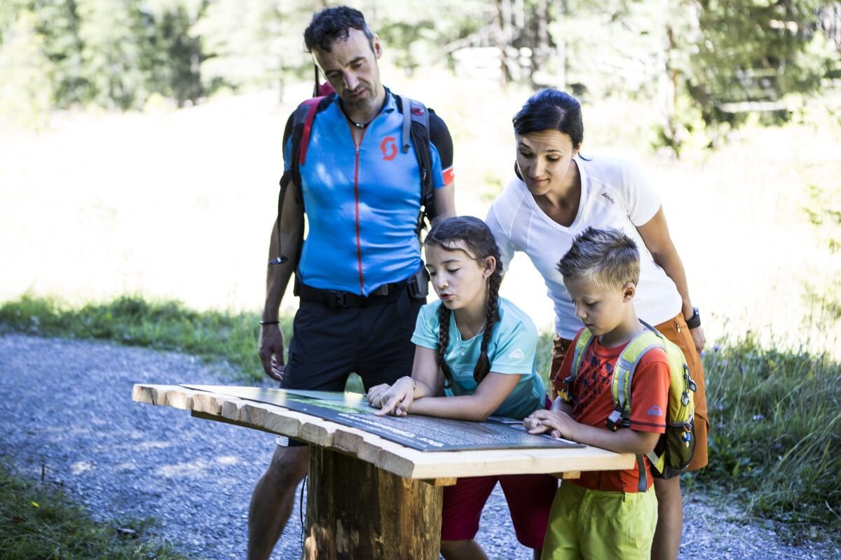
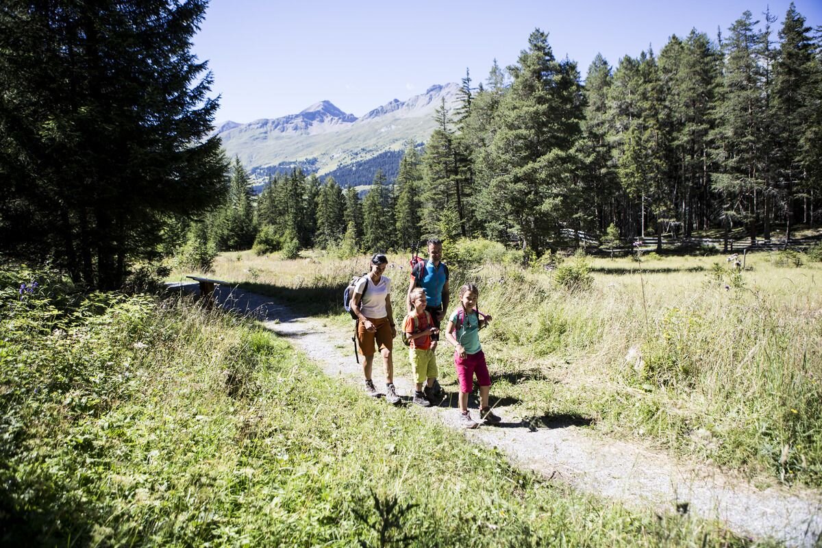
Thematic route | Theme-way for families

3 routes - Variant Mösle

Opening status | Closed
The route leads from the valley station of the Mutzkopf lift via Hiking trail no. 4 to the Mösle natural pond. The moor area is a unique place to relax and a valuable biotope for plants and animals. Along the Forest trail no. 5a, continue to the “Plant Garden” and along the Hiking trail no. 5, along the Swiss border, up to Losschrofen. Behind it, the route continues to the Schwarzer See, which you circle around the lake shore. The route continues on the Nature trail no. 9b and on Trail no. 9c via Riatsch back to the starting point. Alternatively, you can follow Trail no. 9 back to the Mutzkopf mountain station and take the chairlift down into the valley.
4:0h
531m
10.1km
Highest point
1756m
Start point
Nauders
End point
Bergstation Mutzkopflift

Similar Tours

Easy
71m | 1h | 2.8km
Thematic route
Piller Moor
Begin: Parkplatz Piller Moor (Richtung Piller)
Easy
86m | 2.5h | 7.8km
Thematic route
3 routes - Variant Mutzkopf
Begin: Nauders
End: Nauders
Easy
1.5h
Thematic route
Theme path tree horoscope
Begin: Dorfzentrum Prutz
End: Dorfzentrum Prutz
Easy
85m | 0.75h | 2.01km
Thematic route
Bibis Märchenwald
Begin: Infobüro TVB | Ried im Oberinntal
End: Infobüro TVB | Ried im Oberinntal
Easy
290m | 3.5h | 9.2km
Thematic route
Wallfahrtsweg Kauns (1.050 m) - Kaltenbrunn (1.287 m)
Begin: Kauns
End: Wallfahrtskirche Kaltenbrunn
Medium
202m | 1.5h | 3620km
Hiking tour
Sternenweg im Gepatsch
Begin: Stauwurzel Gepatschstausee
End: Gepatschhaus
Easy
10m | 0.5h | 1.18km
Thematic route
Historischer Rundgang durch Ried im Oberinntal
Begin: Pfarrkirche St. Leonhard
End: Dorfplatz Ried
Medium
935m | 6h | 15.2km
Thematic route
Kaunerberger Wasserweg
Begin: Gemeindeamt Kaunerberg
End: Gallruth