















Hiking tour
Wanderung Ebene und Ferminzkopf

Starting from the village, follow Hiking trail no. 18a towards Stableshof. From here a narrow
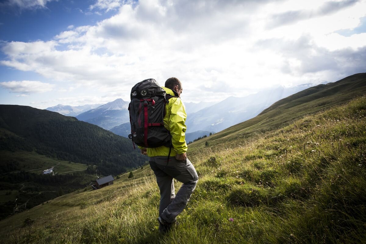
forest path (No. 25) branches off to the left and leads through the spruce forest up to the fence of the upper Stables meadows. Past a cattle trough with good spring water the route goes through the narrow forest belt to the Stables plateau. After crossing the Nauders mountain trail, climbing tracks almost 400 metres over the back to the Köpfle (2,506 m). Marking poles and stone markings facilitate orientation for the further climb. The summit cross (2,555 m) is now in sight. The route continues leisurely on Trail no.46 to the Ferminzkopf (2,410 m). The way back takes you first to the Gamoralm and further along a forest path (17b) to the Parditschhof. After a stop, the route goes back to the village.
forest path (No. 25) branches off to the left and leads through the spruce forest up to the fence of the upper Stables meadows. Past a cattle trough with good spring water the route goes through the narrow forest belt to the Stables plateau. After crossing the Nauders mountain trail, climbing tracks almost 400 metres over the back to the Köpfle (2,506 m). Marking poles and stone markings facilitate orientation for the further climb. The summit cross (2,555 m) is now in sight. The route continues leisurely on Trail no.46 to the Ferminzkopf (2,410 m). The way back takes you first to the Gamoralm and further along a forest path (17b) to the Parditschhof. After a stop, the route goes back to the village.
tour1
6:0h
1100m
12km
Start point
Pfarrkirche Nau
End point
Nauders


