Running tracks

Ochsenkopf Runde

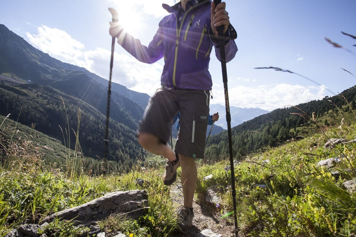
Starting point of this tour is the Sattelklause near Fendels. Those coming from Ried can use the gondola and chair lift here in comfort. Once you arrive at the starting point, the tour goes up to the left towards the Mathon Alm and Ochsenkopf on a relatively wide forest path. Once you arrive at the Ochsenkopf, the tour goes back towards Plangger and then along a forest path towards Fendler Alm. After the Fendler Alm, it's a leisurely walk back to the Sattelklause.
tour1
381m
7.5km
Highest point
2242m
Start point
Fendels Sattelklause
End point
Fendels Sattelklause

Similar Tours

Difficult
466m | 10km
Running tracks
Kehm
Begin: Feichten
End: Feichten
Difficult
830m | 9km
Running tracks
Bergkastel - Bergstation
End: Bergkastel Bergstation
Medium
713m | 13.93km
Running tracks
Übersachsen-Freitzberg-Trail
Begin: St. Christina | Ried im Oberinntal
End: St. Christina | Ried im Oberinntal
Medium
694m | 12.9km
Running tracks
Spiss - Zanders - Trail
Begin: Spiss | Gande
End: Spiss | Gande
Medium
776m | 16km
Running tracks
Radurschl-Trail
Begin: Parkplatz Wildmoos | Pfunds
End: Parkplatz Wildmoos | Pfunds
Easy
67m | 2.5km
Walkway
Möser (Fendels)
Begin: Fendels
End: Fendels
Medium
1122m | 17.2km
Running tracks
Kaunertal-Piller Höhe
Begin: Platz
End: Naturparkhaus Kaunergrat
Difficult
516m | 11km
Hiking tour
Schnadiger Weiher (Kaunerberg)
Begin: Kaunerberg
End: Kaunerberg