


Walkway
To the Parditschhof
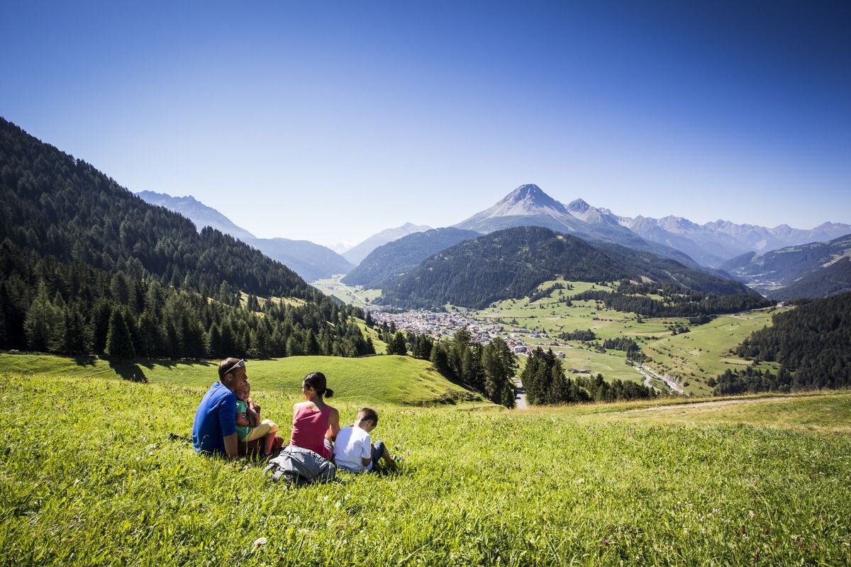


The starting point is the parish church of St. Valentine in the village centre. From there, a tarmac road (No. 14) leads to the Parditschhof (1,644 m). There are fantastic distant views to the south to the Ortler and to the southwest to the Engadine. The small mountain chapel (designed by Clemens Holzmeister) blends harmoniously into the breath-taking mountain landscape. At the designated opening times, the Berggasthof offers home-made specialties in the cosy farmhouse parlour or on the panoramic terrace. Alternatively, you can either continue towards Gamor (No. 17b) or to Labaunalm (No. 16, 14). To go back to the village, take the Mountain trail no. 14a, past a fenced pasture for animals.
2:0h
304m
4.5km
Highest point
1663m
Start point
Pfarrkirche St. Valentin
End point
Pfarrkirche St. Valentin


