Hiking tour

Kobler Bergwiesen

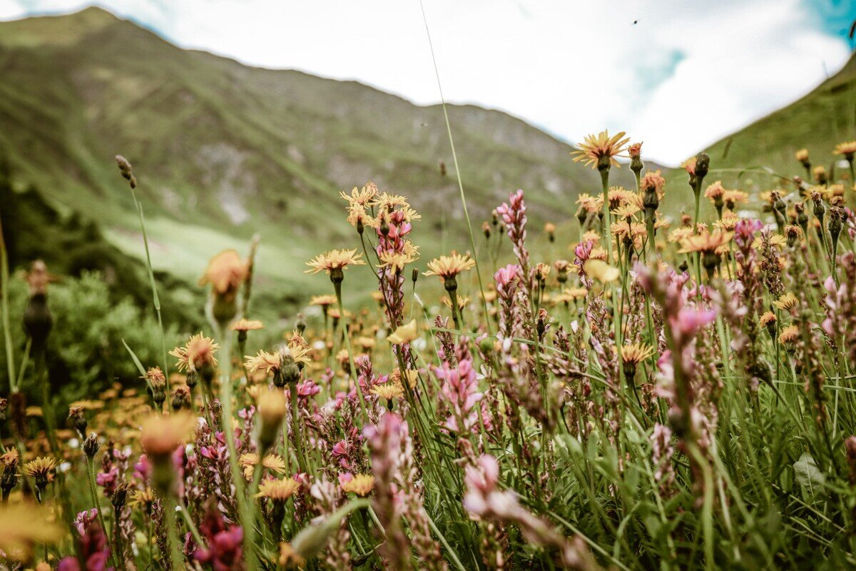
From Pfunds, drive up to Kobl to the parking area at Kobler Alm. From the parking lot, walk back a short distance along the road until the easy trail no. 1 branches off to the left into the forest. This path leads through a short forest section and up to alpine meadows at around 2,074 m. Here you can admire a rich variety of alpine flowers such as arnica, pasque flowers, and many other species. At the same time, beautiful panoramic views open up toward the neighboring Engadin and the Ötztal Alps.

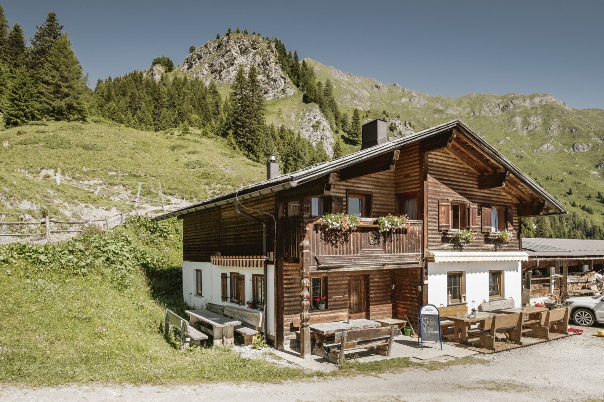
The trail then continues at a relaxed pace toward Kobler Alm. The return route follows alpine path no. 2, offering wonderful views of the striking trio of peaks: Piz Mundin, Piz Alpetta, and Piz Mezdi.

2.7:2.9h
374m
6.45km
Highest point
1922m
Start point
Parkplatz Kobler Alm | Pfunds
End point
Parkplatz Kobler Alm | Pfunds

Similar Tours

Medium
458m | 4.43h | 10.43km
Hiking tour
Anton Renk-Hütte | Rundwanderung
Begin: Parkplatz Seilbahn Talstation | Ried im Oberinntal
End: Parkplatz Seilbahn Talstation | Ried im Oberinntal
Easy
226m | 2.5h | 6.4km
Hiking tour
Über den kleinen Mutzkopf retour nach Nauders
Begin: Bergstation Mutzkopf
End: Talstation Mutzkopf
Medium
543m | 3.9h | 8.04km
Hiking tour
Frudiger
Begin: Parking area Tscheylücke | Pfunds
End: Parking area Tscheylücke | Pfunds
Medium
860m | 6.5h | 8.7km
Hiking tour
Ochsenkopf und Roter Schrofen
Begin: Bergstation Sattelklause
End: Bergstation Sattelklause
Medium
753m | 6.5h | 12.4km
Hiking tour
Höhenweg Dreiländergrenzstein
End: Gasthof Martha
Medium
349m | 6.6km
Hiking tour
Schnadigen
Begin: Kaunerberg
End: Kaunerberg
Medium
733m | 5.93h | 15.93km
Hiking tour
Anton Renk-Hütte | Großer See
Begin: Parking area Seilbahn Talstation | Ried im Oberinntal
End: Parking area Seilbahn Talstation | Ried im Oberinntal
Medium
280m | 3h | 5km
Hiking tour
Krummgampental - Verborgener See (2.674 m)
Begin: Krummgampental
End: Verborgener See