















755 | Gschneier Alm
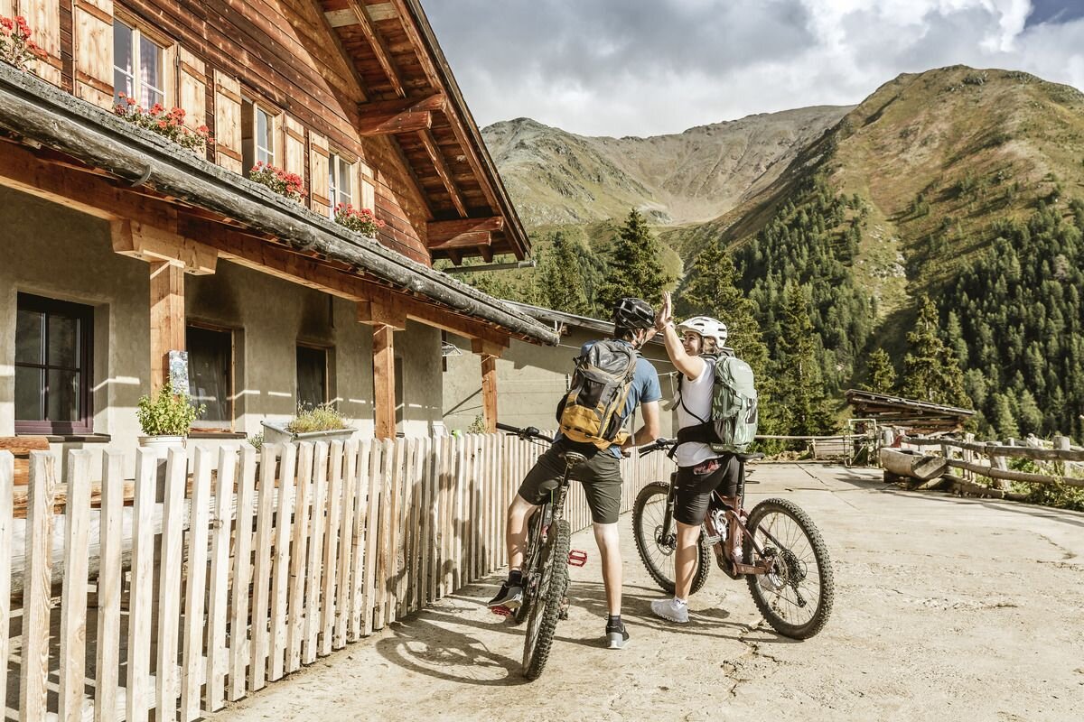


From the Pfunds information office starting point, follow the cycle path towards Landeck for a good stretch, which winds its way through the narrow streets of the village at the beginning. As soon as you have left the last houses of Pfunds behind you, the long and challenging ascent to the Gschneier Alm begins. It is easy to remember the relationship between length and altitude on this tour: for every 1 kilometre of length, 100 metres of altitude have to be covered. Still on an asphalt road, you pass Margreid, the various hamlets of Greit and the Greiter Säge (half of the tour), before which the beautiful high valley of the Pfundser Tschey opens up before you. The route branches off to the right here over the bridge onto a forest path and continues uphill through the Riedwald forest. You can catch a glimpse or two of the countless hay barns on the Tschey alpine meadows before the tour winds over the stream into a side valley. With the Gschneier Alm already within reach, the last 5 hairpin bends can be counted on one hand and you draw on your last reserves of energy. Once at the top, you can treat yourself to home-made products. The descent follows the same route back to the starting point in Pfunds.


