








Hiking tour

Kaunerberg - Aifner Alm

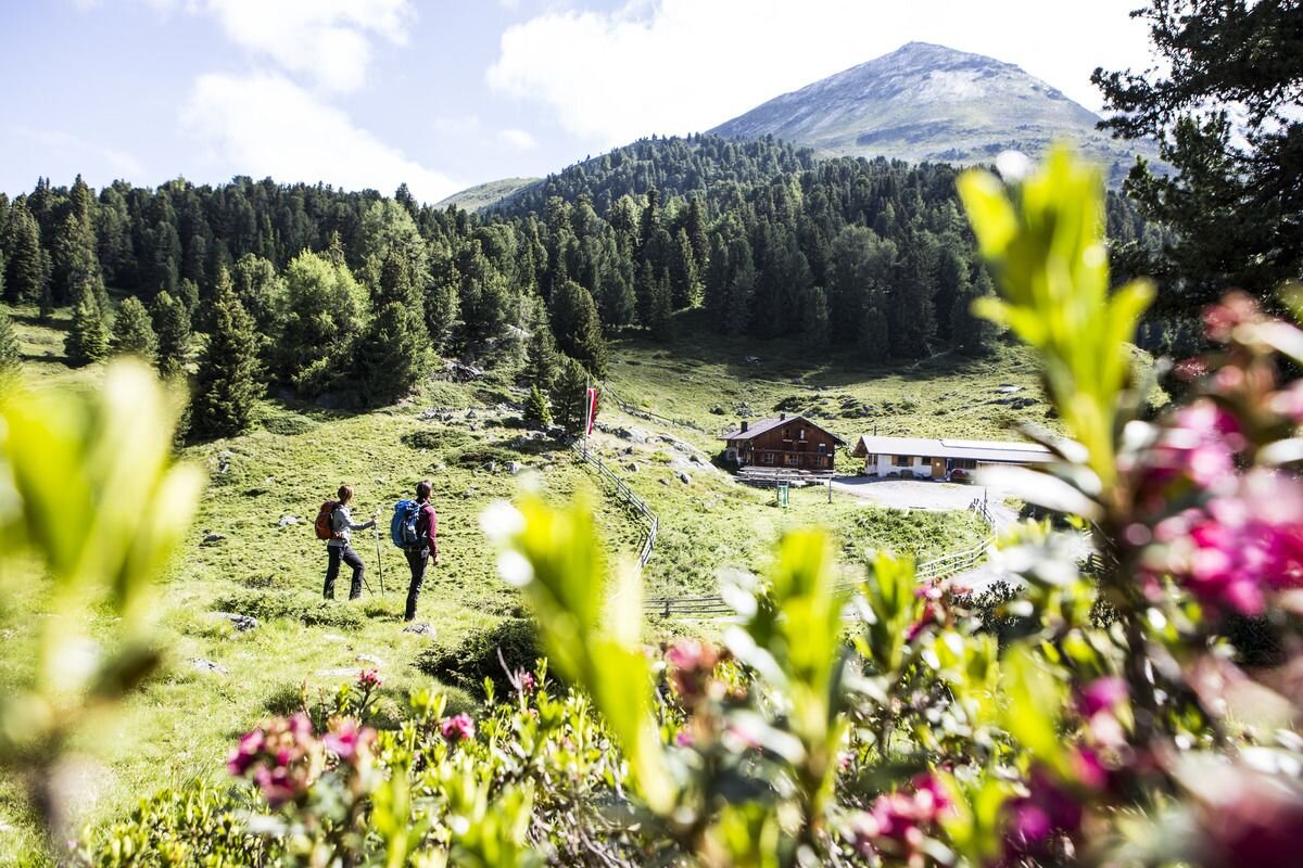
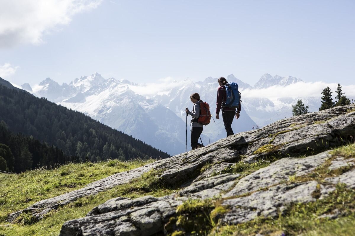
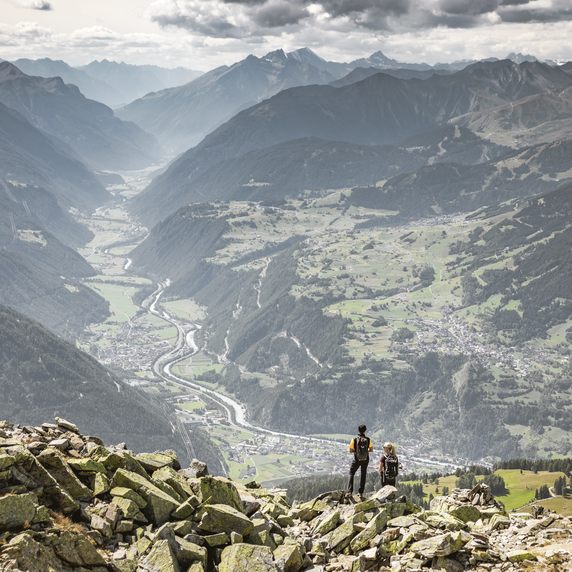
The holiday and recreation village of Kaunerberg, with its many small hamlets, is situated at an altitude of 1,270–1,600 m. From there, hikers follow forest trails and mountain paths up to the Aifner Alm at 1,980 m. Around the treeline, extensive Swiss pine forests and moors can be found. The staffed alpine hut, complete with a stable and dairy, is located on the southwestern slope of the Aifnerspitze. From here, visitors can enjoy a magnificent panorama of the highest peaks of the Kaunergrat. From Aifner Alm, both the Aifnerspitze and the Hohe Aifnerspitze can also be climbed.
tour1
4.8:1.8h
658m
10.71km
Highest point
2013m
Start point
municipal office | Kaunerberg
End point
municipal office | Kaunerberg

Similar Tours

Easy
356m | 3h | 6.7km
Hiking tour
Plamortweg
Begin: Bergkastel Bergstation
End: Bergkastel Bergstaion
Medium
535m | 3.55h | 5.64km
Hiking tour
Brandlsteig
Begin: Steinbrücken | Tösens
End: Steinbrücken | Tösens
Easy
16m | 1h | 3.5km
Hiking tour
Wanderung über Wanderweg 9c zum Riatschhof
Begin: Bergstation Mutzkopfsessellift
End: Nauders Dorf
Easy
426m | 3.5h | 7.5km
Hiking tour
Sellesköpfe
Begin: Lochmühle
End: Mutzkopf Talstation
Medium
611m | 6h | 5.6km
Hiking tour
Piengkopf
Begin: Bergstation Bergkastel
End: Bergstation Bergkastel
Medium
620m | 4.5h | 8.6km
Hiking tour
Zirbenweg
Begin: 2,5 km nach der Staumauer
End: Gepatschhaus
Medium
410m | 3.8h | 10.87km
Hiking tour
Anton-Renk-Hut
Begin: Sattelklause
End: Anton-Renk-Hütte (2.260 m)
Difficult
1692m | 13.6km
Hiking tour
Über das Wallfahrtsjöchl vom Kaunertal ins Pitztal
Begin: Parkplatz Wallfahrtskirche Kaltenbrunn
End: Eggenstall (St. Leonhard-Pitztal)